Waterwatch Data Portal
Site details
Overview
| Site code | NC_FOR650 |
|---|---|
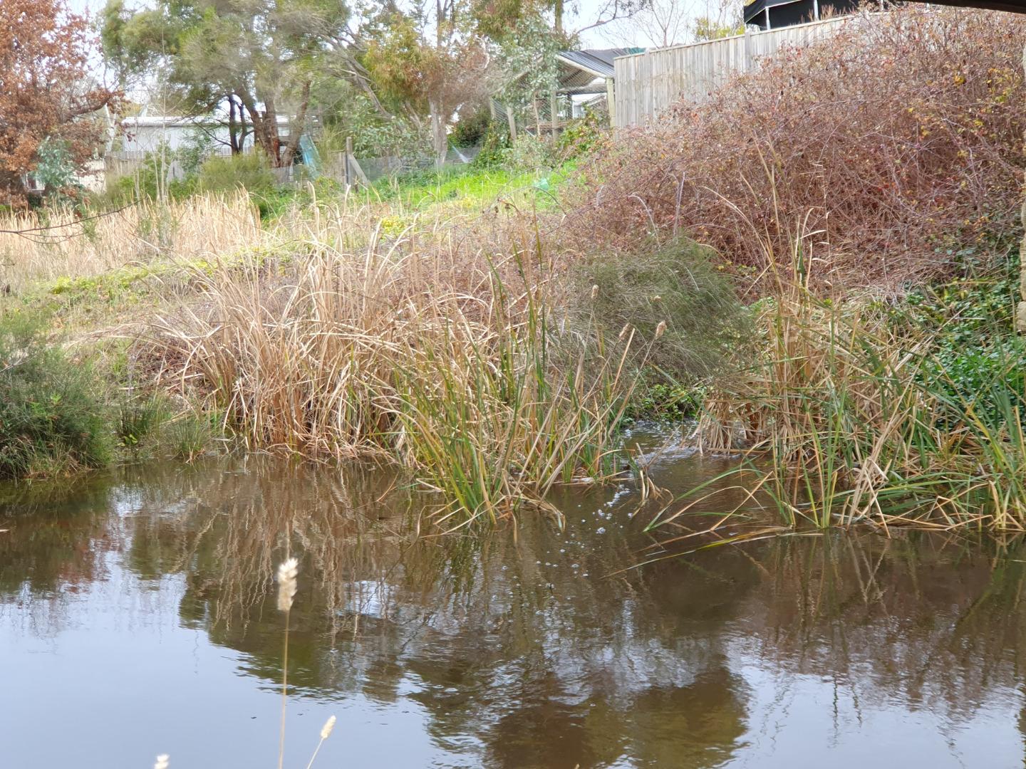
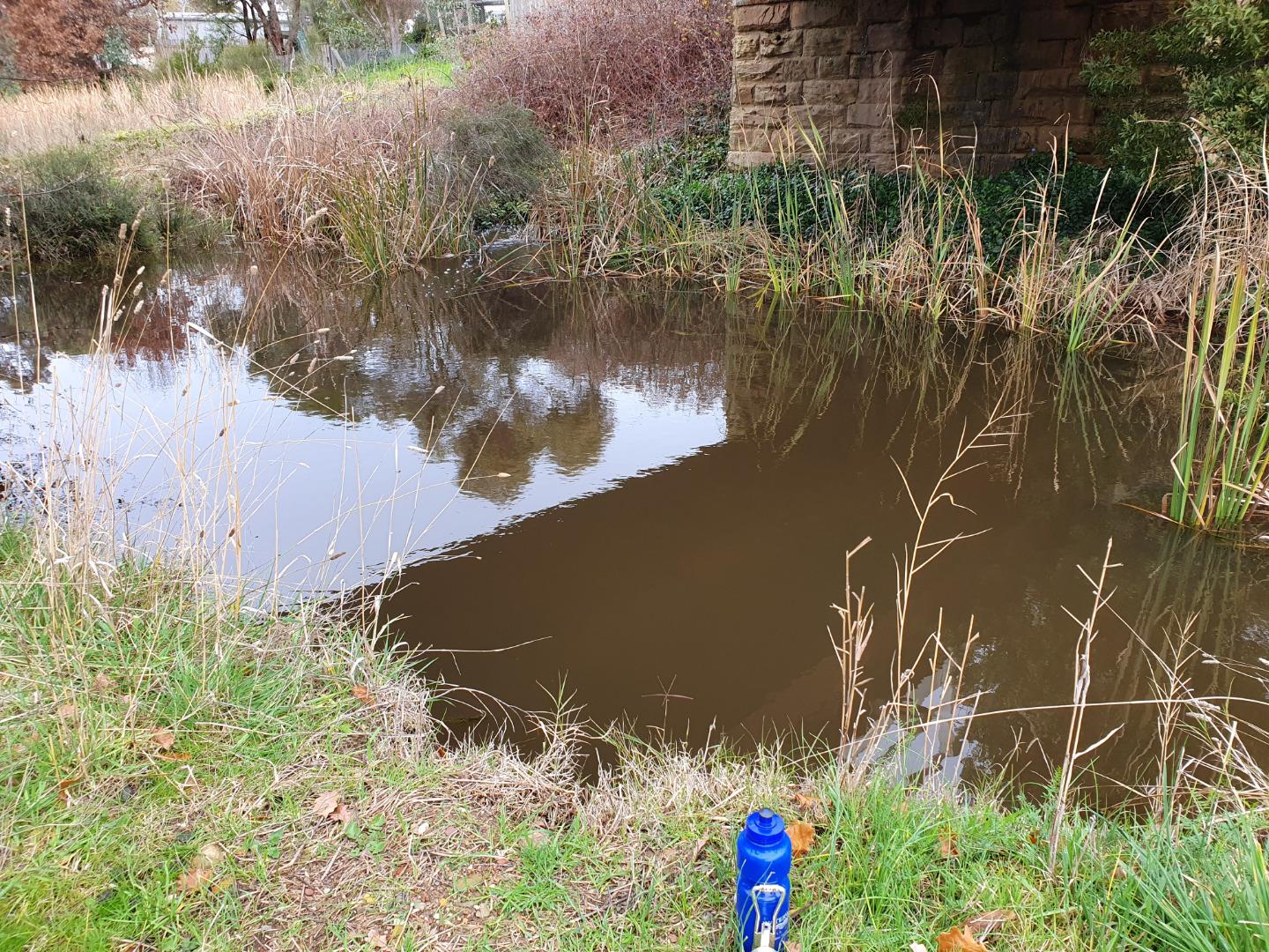
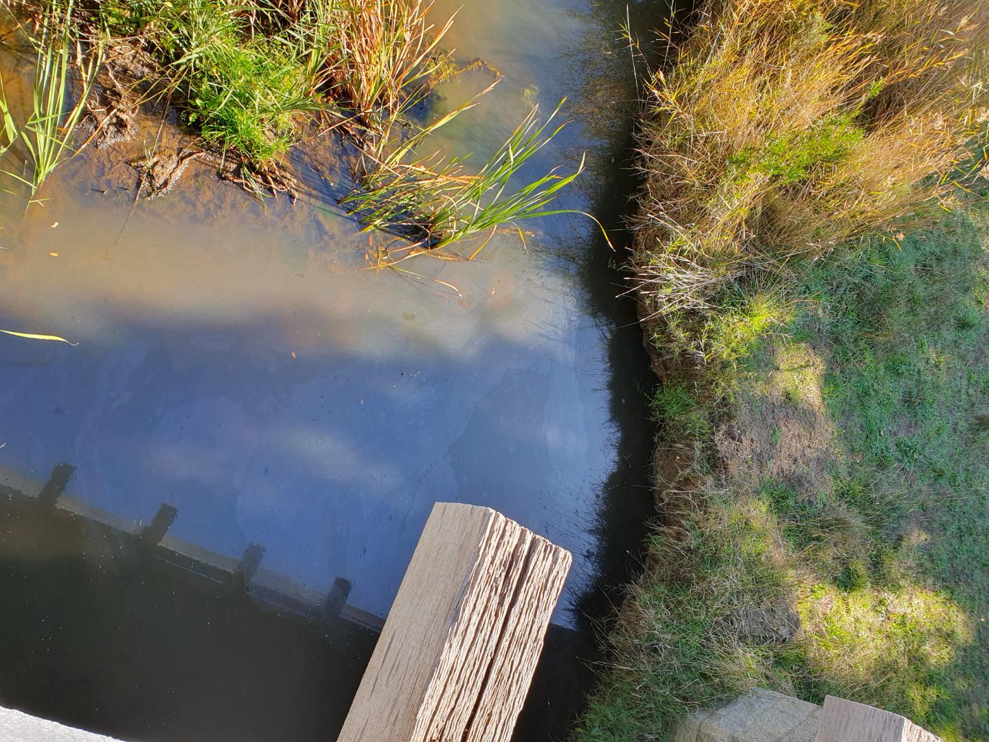
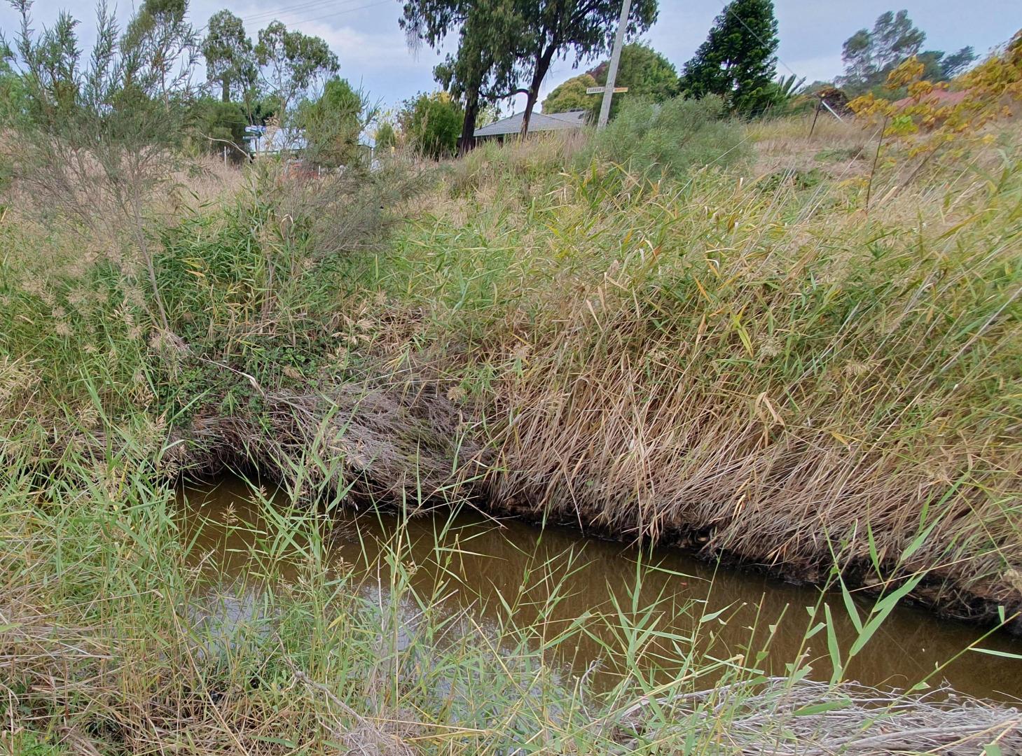
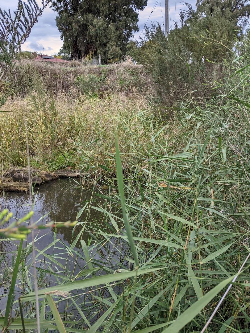
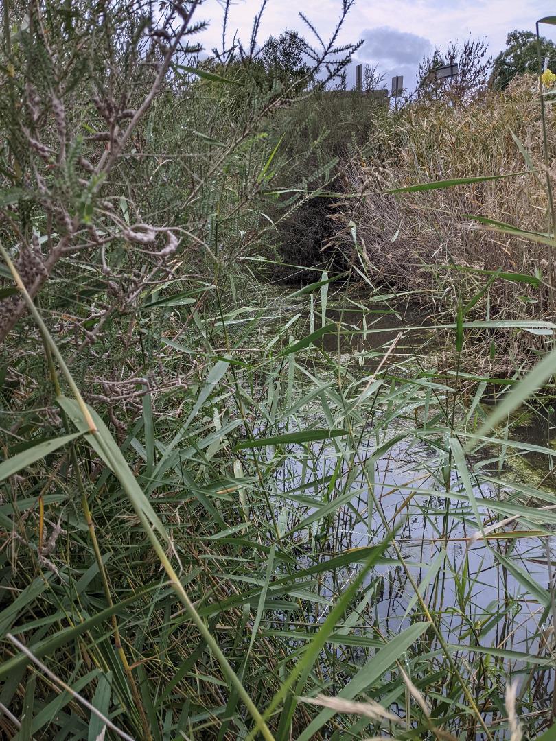
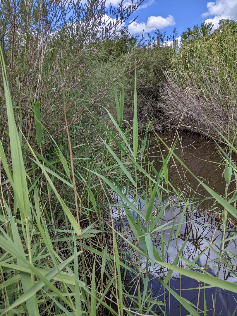
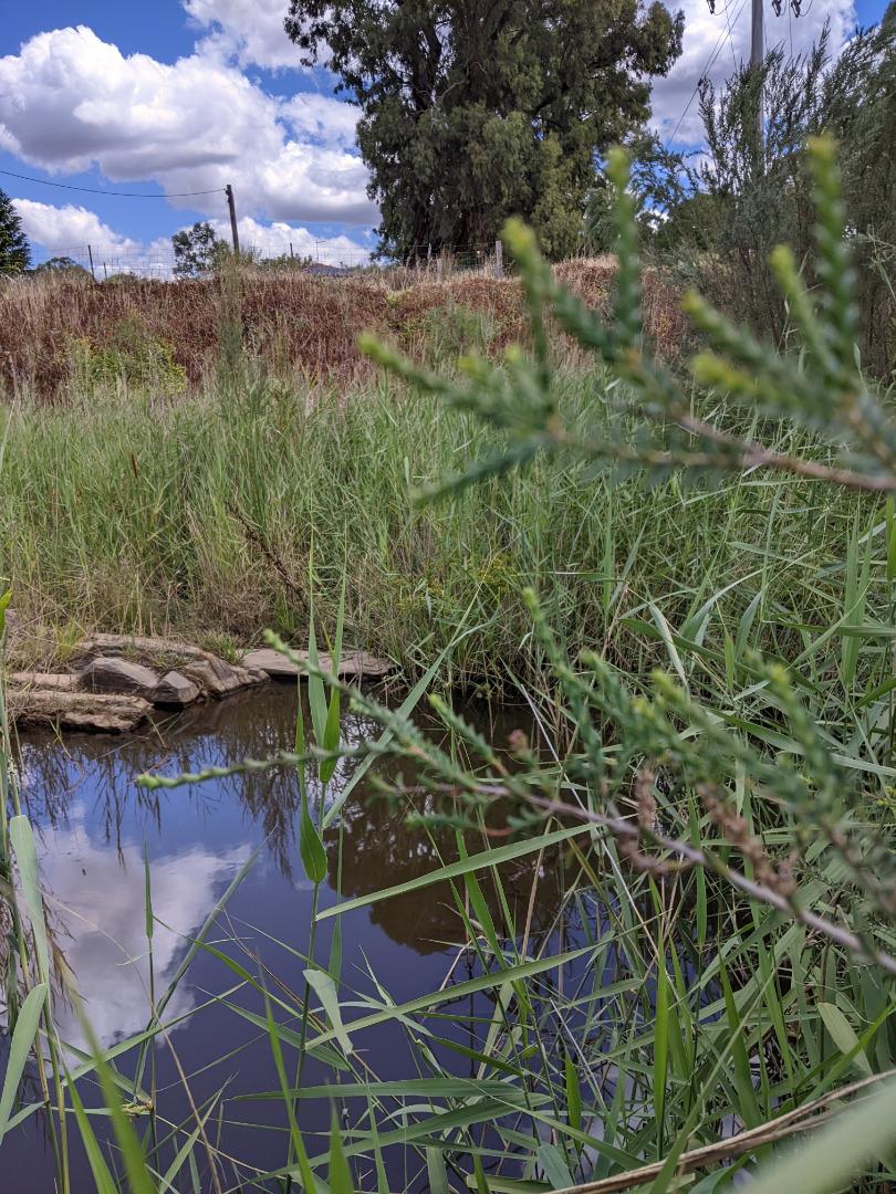
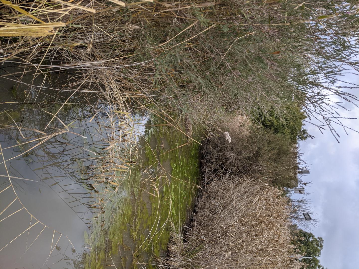
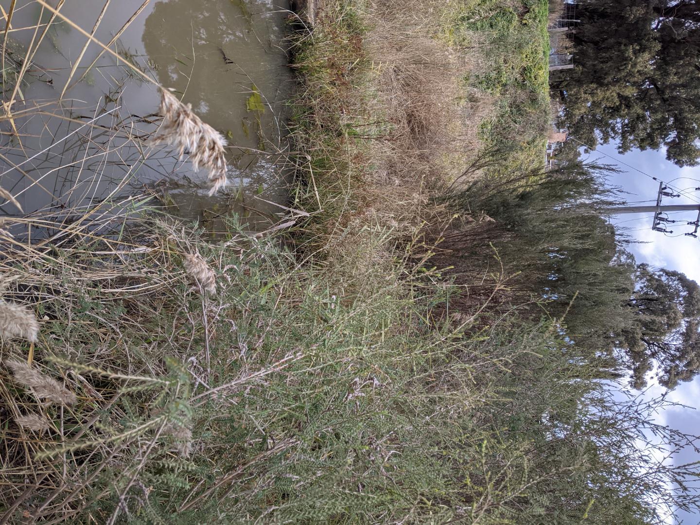
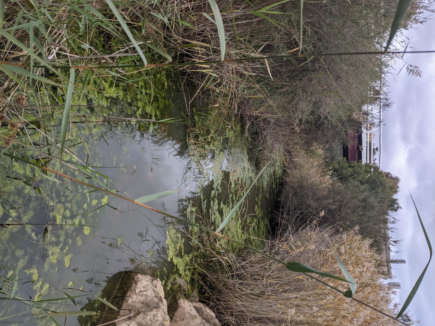
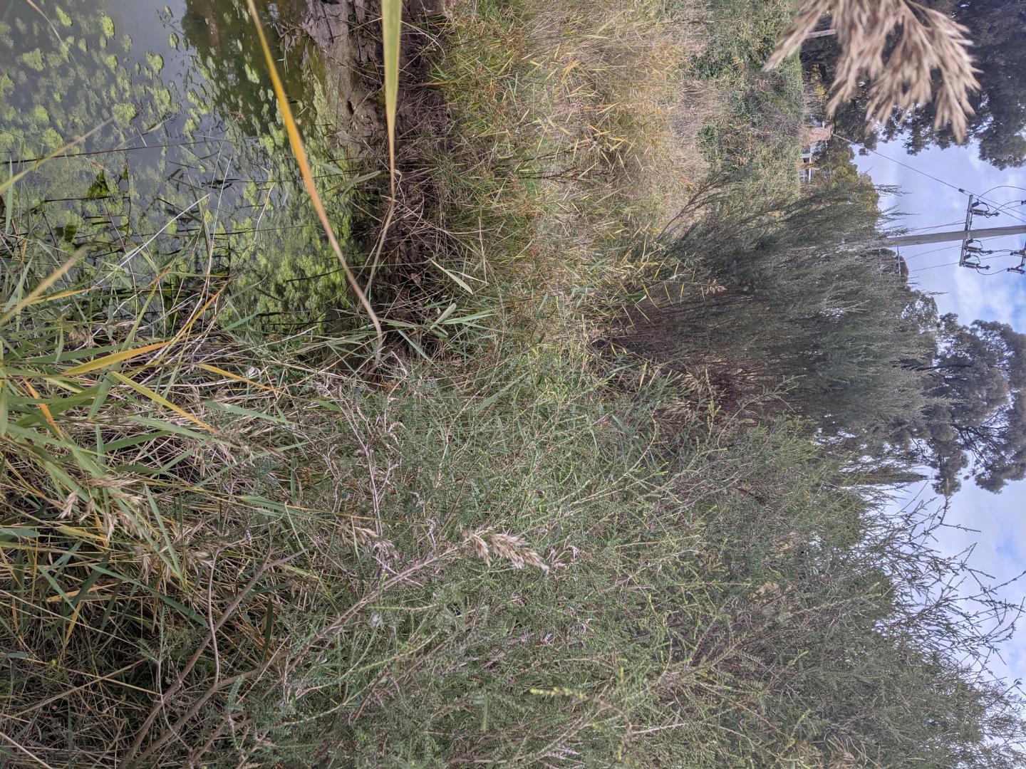
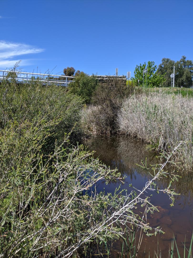
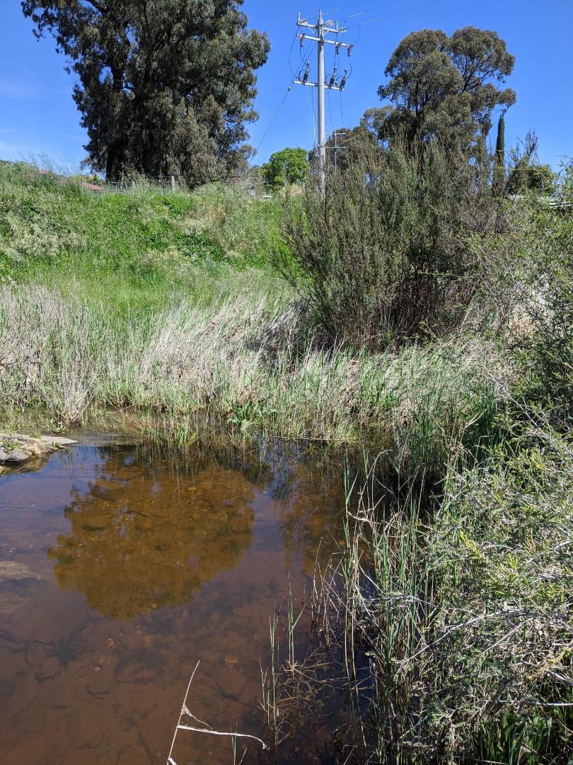
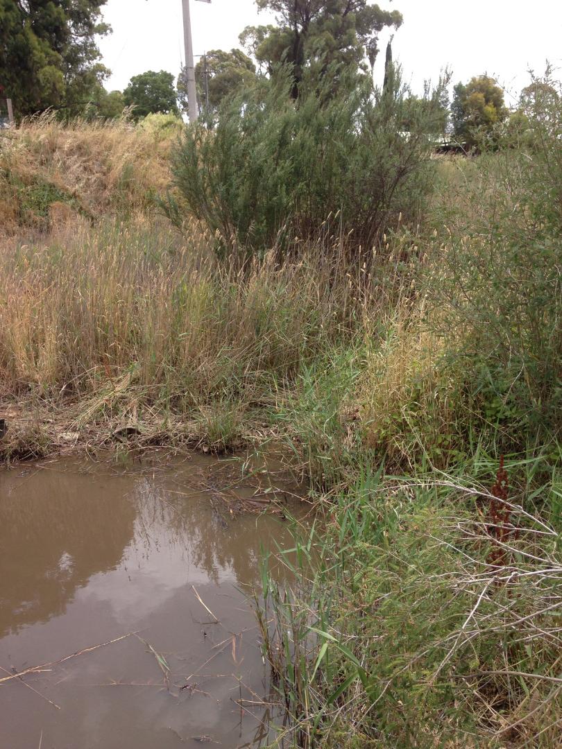
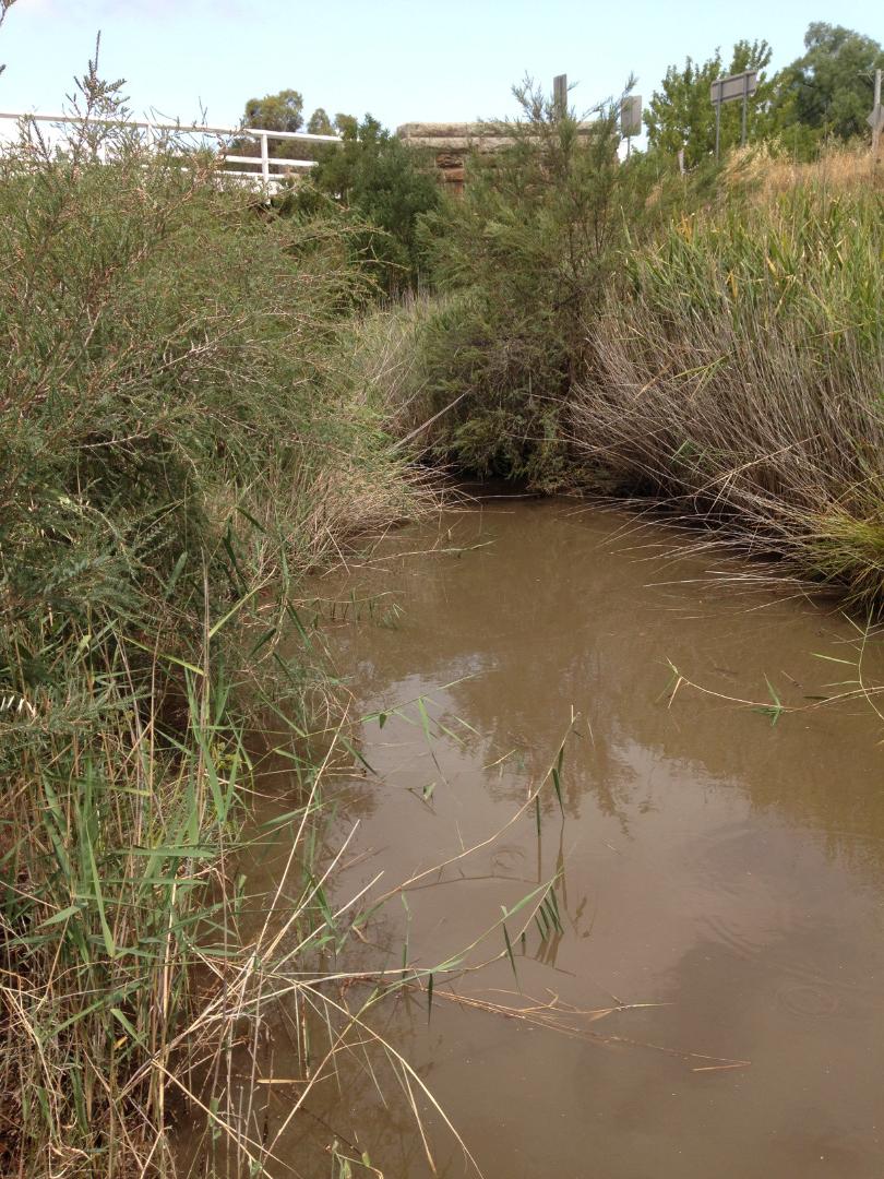
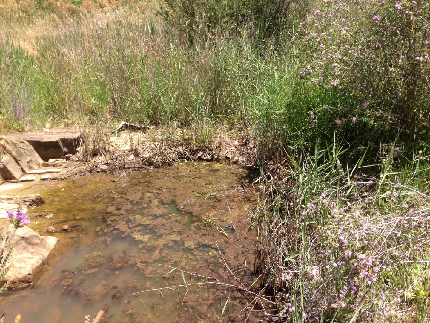
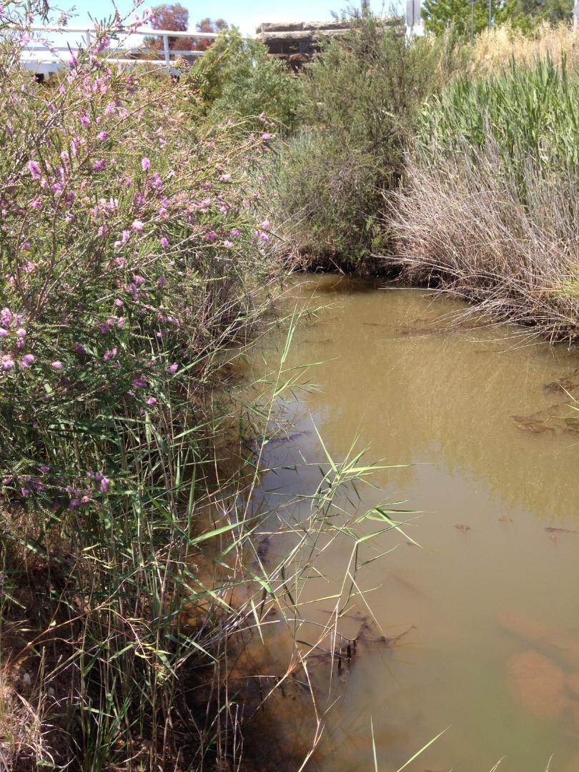
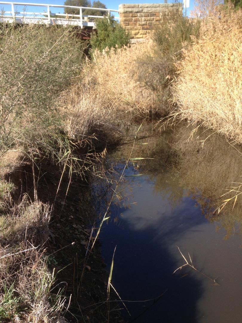
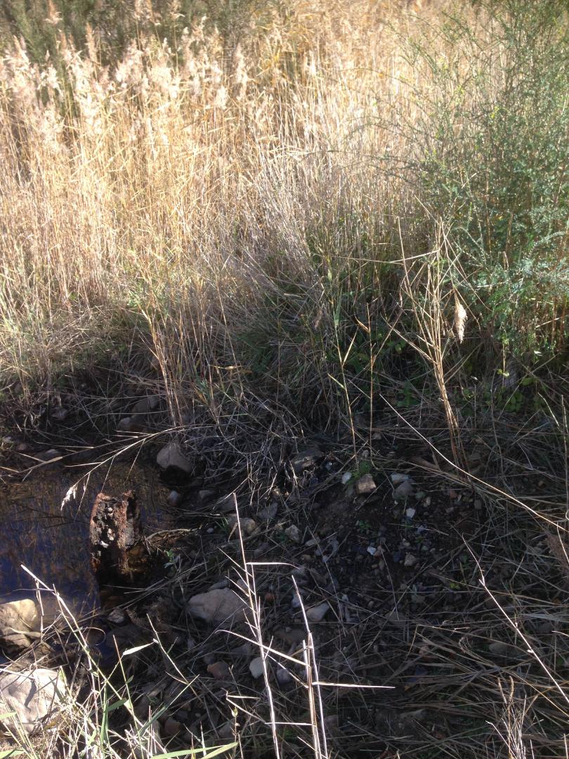
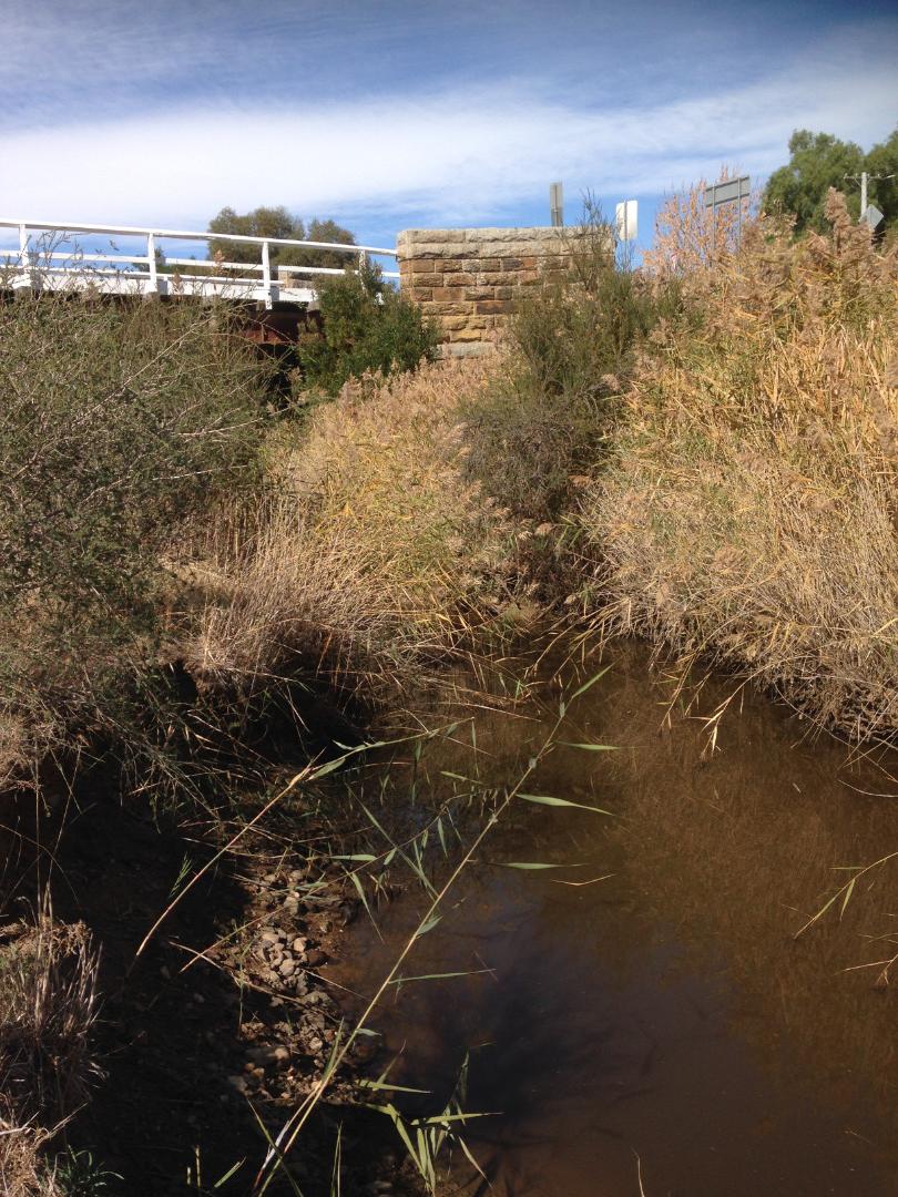
| Site name | Forest Creek @ Colles Rd bridge |
| Status | Active |
| Water Authority | North Central |
| Basin | Loddon River |
| Catchment | Loddon River |
| Sub catchment | |
| Reach | |
| Water type | Other |
| Council | |
| History | View all 170 site visits 19-01-2006 - 18-09-2024 |
| Monitoring organisations |
Site visits
 Loading chart
| Date | EC µS/cm | FrP mg/L P | pH pH Units | rP mg/L P | Air ° C | Water ° C | Turb NTU |
|---|---|---|---|---|---|---|---|
| 26-01-2023 | 1950 | 7.52 | 0.15 | 28.5 | 22.9 | 11 | |
| 05-03-2023 | 2620 | 7.14 | 0.2 | 27.7 | 18.3 | 10 | |
| 06-04-2023 | 1788 | 7.28 | 0.15 | 20.8 | 15.3 | 20 | |
| 30-04-2023 | 1785 | 6.9 | 0.15 | 11.2 | 8.3 | 9 | |
| 06-06-2023 | 1327 | 7.13 | 0.15 | 15.1 | 12.3 | 14 | |
| 25-06-2023 | 650 | 7.02 | 0.15 | 9.5 | 8.8 | 11 | |
| 30-07-2023 | 775 | 7.23 | 0 | 13 | 11.9 | 9 | |
| 30-08-2023 | 1022 | 6.83 | 0 | 18.6 | 12.4 | 9 | |
| 16-09-2023 | 1059 | 7.07 | 0 | 21.5 | 14.6 | 9 | |
| 29-10-2023 | 1501 | 7.32 | 0 | 14.3 | 12.5 | 9 | |
| 26-11-2023 | 1210 | 7.52 | 0.01 | 17.3 | 17.8 | 40 | |
| 31-01-2024 | 1088 | 7.51 | 0.05 | 28 | 21.1 | 9 | |
| 28-02-2024 | 1473 | 7.41 | 0.05 | 40.5 | 22.4 | 9 | |
| 31-03-2024 | 2150 | 7.57 | 0 | 22.7 | 16 | 14 |
Habitat
| Date | Comment | Bank Erosion Stability | Bank Vegetation | In Stream Cover | Riffles Pools Bends | Verge Vegetation | Overall |
|---|---|---|---|---|---|---|---|
| 18-06-2011 | Fair 3 | Good 8 | Good 8 | Fair 3 | Fair 6 | Fair 28 | |
| 18-07-2006 | VeryPoor 1 | Good 8 | Fair 6 | Poor 2 | Fair 6 | Fair 23 | |
| 08-05-2006 | Poor 2 | Fair 6 | Fair 6 | Poor 2 | Fair 6 | Fair 22 |


All content, files, data and images provided by the Waterwatch Data Portal and Gallery are subject to a Creative Commons Attribution License
Content is made available to be used in any way, and should always attribute Waterwatch and www.vic.waterwatch.org.au
.png)