Waterwatch Data Portal
Site details
Overview
| Site code | EG_JOB056 |
|---|---|
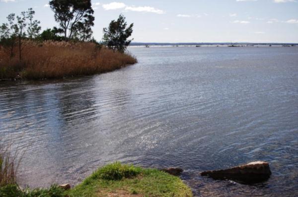
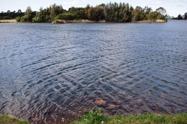
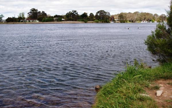
| Site name | Jones Bay 'The Cut |
| Status | Active |
| Water Authority | East Gippsland |
| Basin | Mitchell River |
| Catchment | Lake King |
| Sub catchment | Jones Bay |
| Reach | 24_4 Mitchell River |
| Water type | River |
| Council | East Gippsland Shire Council |
| History | View all 34 site visits 09-02-2012 - 20-01-2025 |
| Monitoring organisations |
|
Site visits
 Loading chart
| Date | D.O. % | D.O mg/L | EC µS/cm | pH pH Units | rP mg/L P | Air ° C | Water ° C | Turb NTU |
|---|---|---|---|---|---|---|---|---|
| 07-06-2024 | 8960 | 6.84 | 0.02 | 18.5 | 14.8 | 10 | ||
| 07-07-2024 | 7560 | 7.27 | 0.01 | 14.9 | 12 | 10 | ||
| 19-08-2024 | 5080 | 7.47 | 0.07 | 19 | 16 | 10 | ||
| 17-09-2024 | 8003 | 6.73 | 0.017 | 20.7 | 17.6 | 10 | ||
| 18-10-2024 | 3920 | 7.28 | 0.24 | 23.7 | 20.5 | 10 | ||
| 12-12-2024 | 5400 | 7.22 | 0.03 | 24 | 23.4 | 10 |
Habitat
| Date | Comment | Bank Erosion Stability | Bank Vegetation | In Stream Cover | Riffles Pools Bends | Verge Vegetation | Overall |
|---|---|---|---|---|---|---|---|
| 05-06-2024 | <p>It would be good if we could get keys to the wier so samples can be coloected from the weir platform and avoid the slippery banks. </p> <p>The high EC levels are surprising. It was checked with two seperate calibrated instruments.</p> | Fair 3 | Fair 6 | Poor 4 | Poor 2 | Fair 6 | 21 |


All content, files, data and images provided by the Waterwatch Data Portal and Gallery are subject to a Creative Commons Attribution License
Content is made available to be used in any way, and should always attribute Waterwatch and www.vic.waterwatch.org.au
.png)