Waterwatch Data Portal
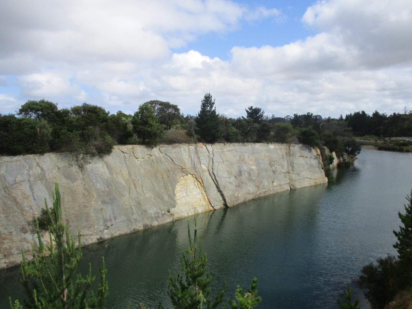
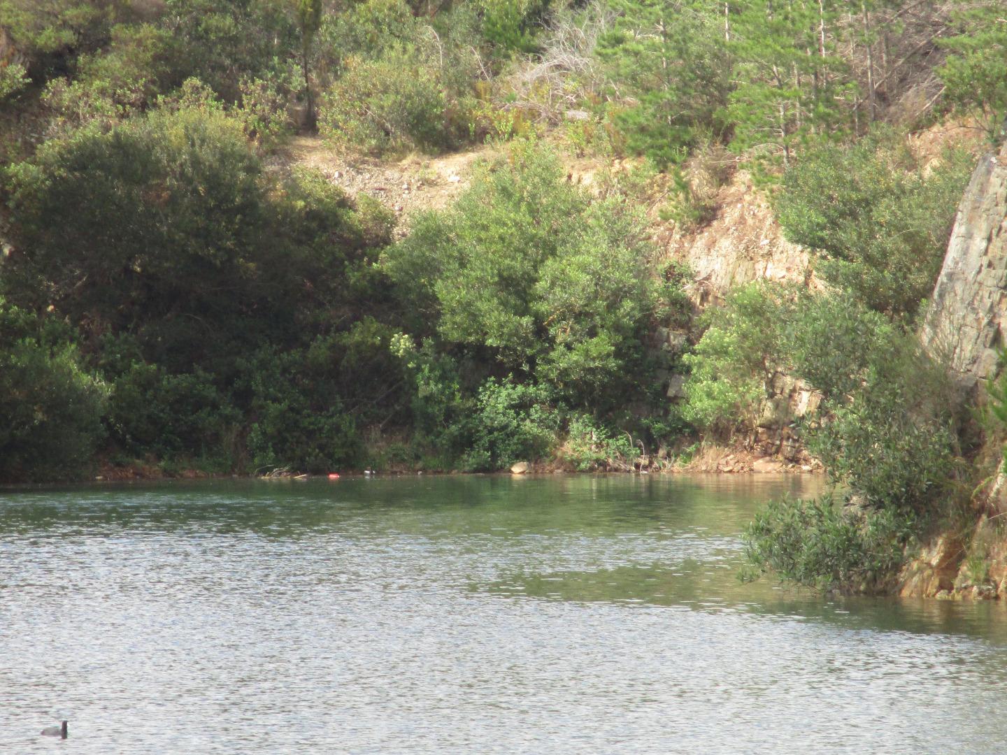
ME_EDV400 Devilbend Reservoir, 150m south of fishing platform, accessed by public car park
21 November 2018
Site visit details
Overview
| Catchment | Bunyip River |
|---|---|
| Site | Devilbend Reservoir, 150m south of fishing platform, accessed by public car park ME_EDV400 |
| Date and Time | Wednesday 21st November 2018 09:05am |
| Approved | Approved |
Physical Chemical Tests
| N mg/L NH4+ | D.O. % | D.O mg/L | EC µS/cm | Nitrate-Nit mg/L N | pH pH Units | rP mg/L P | Air ° C | Water ° C | Turb NTU | |
|---|---|---|---|---|---|---|---|---|---|---|
| Sample | 0 | 68 | 8 | 1130 | 9 | 0 | 16 | 18.2 | 9 |
| Weather | cloudy |
|---|---|
| Last rainfall | During the last 24 hours 3.00 |
| Flow estimate | LOW: Minimum flow in channel/continuous flow in some part of channel (in-stream habitats connected) |
| Water Appearance | Clear,Stained brown |
| Stream depth | 1m - 2m |
| Stream width | > 5m |
| Hazards | |
| Litter/Pollutants | plastic |
water level lower lots of swans and other birds. fishing equipment discarded at edge of water. large amount of graffiti everywhere. large amount of rubbish in old quarry area.

All content, files, data and images provided by the Waterwatch Data Portal and Gallery are subject to a Creative Commons Attribution License
Content is made available to be used in any way, and should always attribute Waterwatch and www.vic.waterwatch.org.au


