Waterwatch Data Portal
CO_MOO004 Moorabool R @ford (Dolly Creek Rd bridge crossing)
3 January 2019
Site visit details
Overview
| Catchment | Moorabool River |
|---|---|
| Site | Moorabool R @ford (Dolly Creek Rd bridge crossing) CO_MOO004 |
| Date and Time | Thursday 3rd January 2019 11:40am |
| Approved | Approved |
Physical Chemical Tests
| D.O. % | D.O mg/L | EC µS/cm | pH pH Units | rP mg/L P | Air ° C | Water ° C | Turb NTU | |
|---|---|---|---|---|---|---|---|---|
| Sample | 65.17 | 5.8 | 567 | 7.8 | 0.03 | 26 | 21 | 9 |
| Weather | sunny |
|---|---|
| Last rainfall | During the last week 5.80 |
| Flow estimate | MEDIUM: flow is normal/typical average flow |
| Water Appearance | Clear |
| Stream depth | 0 - 50cm |
| Stream width | > 5m |
| Hazards | |
| Litter/Pollutants | bottles,paper,plastic,packets |
Habitat Survey done this visit.
Habitat
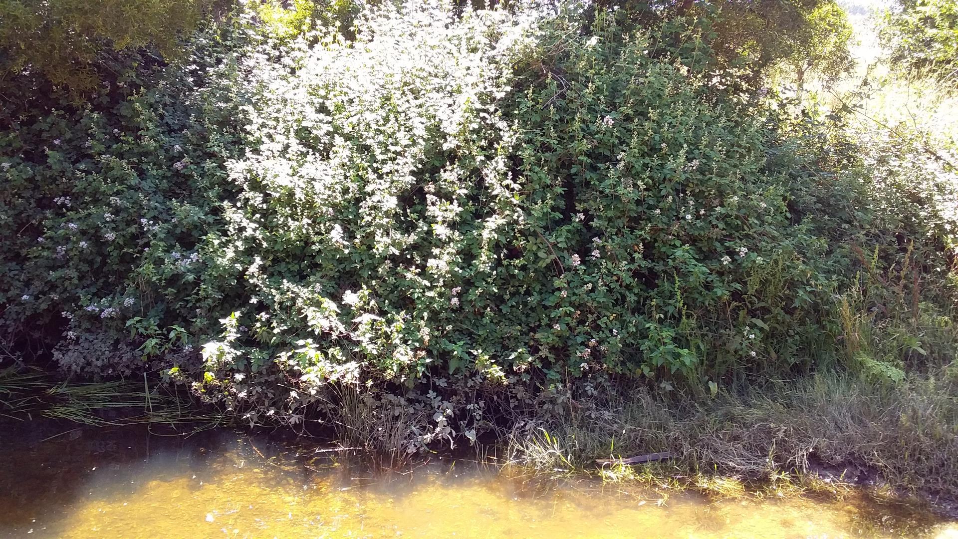
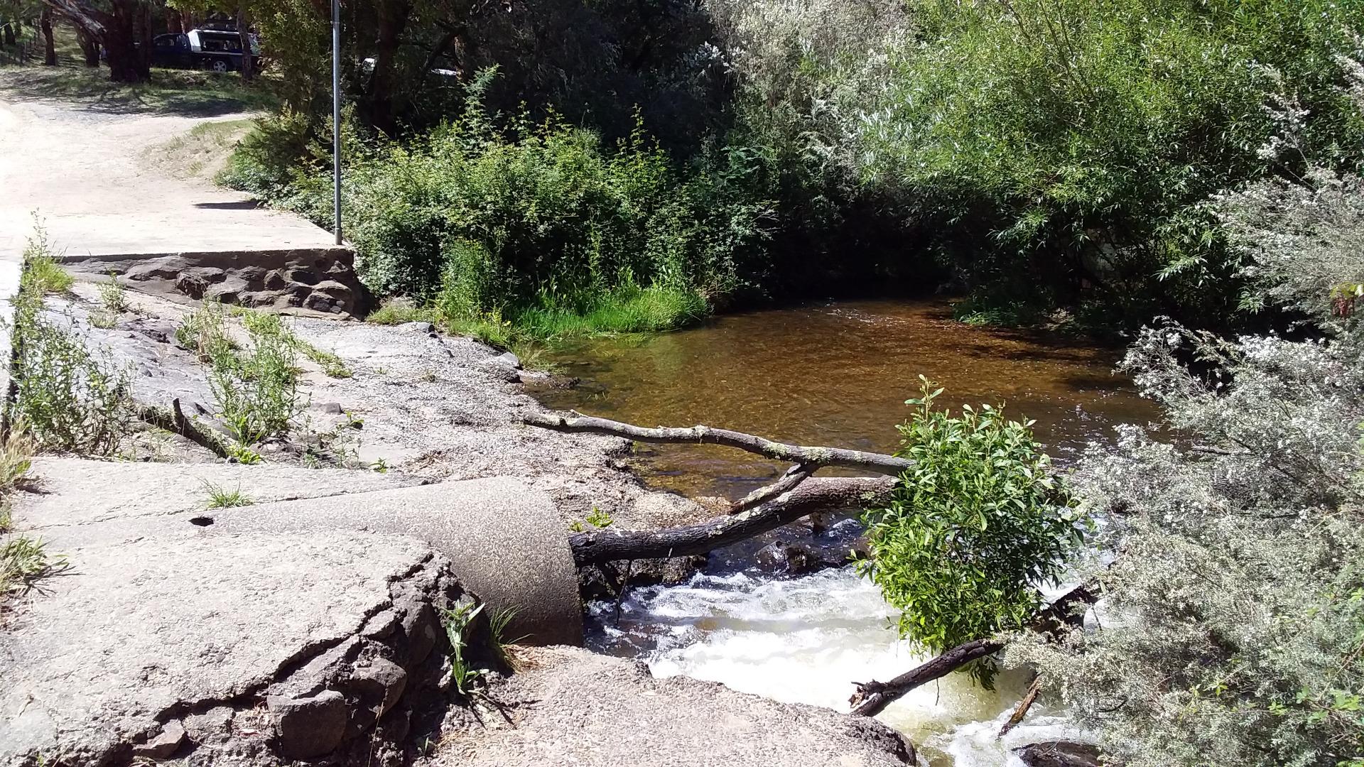
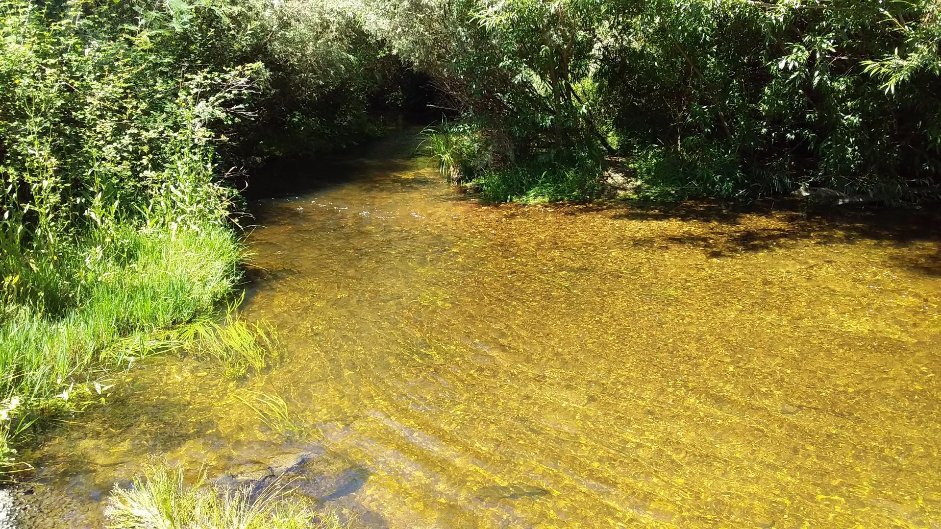
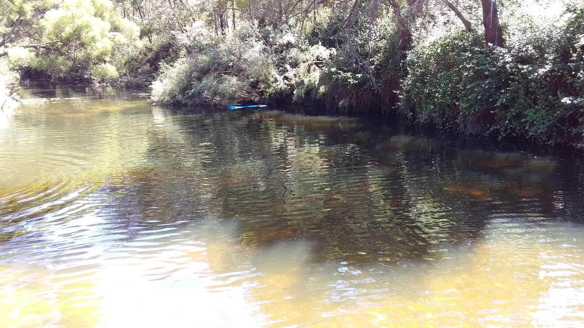
<p>There are a lot of people around today, camping, swimming enjoying the sunshine. The river has a medium flow and is mostly clear except for where people are playing in the water. There are butterflys and little birds flying around. The Blackberry bushes are taking hold along the banks but there is also a lot of natural vegetation. Photos in Diary</p>
| Bank Erosion Stability | Bank Vegetation | In Stream Cover | Riffles Pools Bends | Verge Vegetation | Overall |
|---|---|---|---|---|---|
| Good 4 | Fair 6 | Good 8 | Good 4 | Good 8 | 30 |

All content, files, data and images provided by the Waterwatch Data Portal and Gallery are subject to a Creative Commons Attribution License
Content is made available to be used in any way, and should always attribute Waterwatch and www.vic.waterwatch.org.au


