Waterwatch Data Portal
CO_MOO004 Moorabool R @ford (Dolly Creek Rd bridge crossing)
12 January 2016
Site visit details
Overview
| Catchment | Moorabool River |
|---|---|
| Site | Moorabool R @ford (Dolly Creek Rd bridge crossing) CO_MOO004 |
| Date and Time | Tuesday 12th January 2016 11:30am |
| Approved | Approved |
Habitat
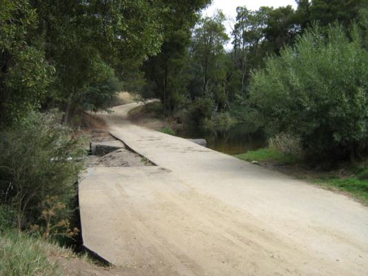
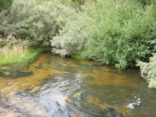
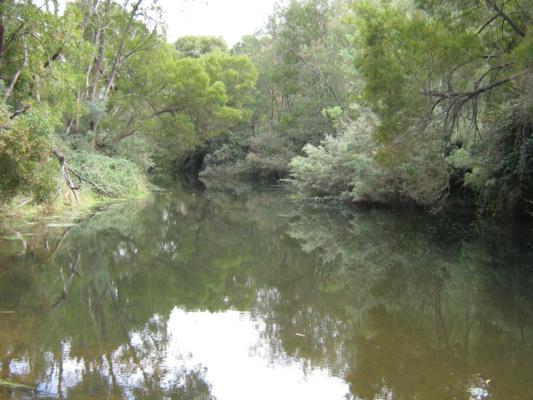
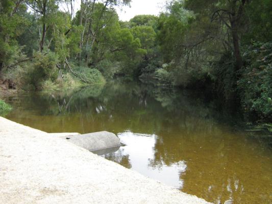
MOO 004 JAN 2016 STREAM HABITAT SURVEY Good looking site and surrounds. Lots of native vegetation, however there are some blackberries starting to take over the bank vegetation in places and some weeds growing here and there. This is a popular picnic, camping and swimming spot so there is a bit of rubbish scattered around. I could hear a few birds singing and saw a Fairy-Wren darting about. I could not see any creatures swimming around in the water. The river is clear and has a good average flow of water. There is a large pool of water on the upstream side of the ford which is often used as a swimming area, on the downstream side set back from the river a little bit is a cleared area which is used for picnics & camping. There seems to be plenty of bank, verge and in stream vegetation which closes in on the river as you look up or downstream from the ford. The verge vegetation is fenced off from farmland on both sides of the river. I have attached some photos of the main area of the site in the diary section.
| Bank Erosion Stability | Bank Vegetation | In Stream Cover | Riffles Pools Bends | Verge Vegetation | Overall |
|---|---|---|---|---|---|
| Good 4 | Good 8 | Good 8 | Good 4 | Good 8 | Good 32 |

All content, files, data and images provided by the Waterwatch Data Portal and Gallery are subject to a Creative Commons Attribution License
Content is made available to be used in any way, and should always attribute Waterwatch and www.vic.waterwatch.org.au


