Waterwatch Data Portal
Site details
Overview
| Site code | WG_TRA006 |
|---|---|
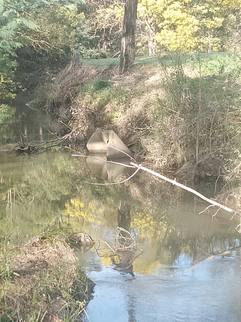
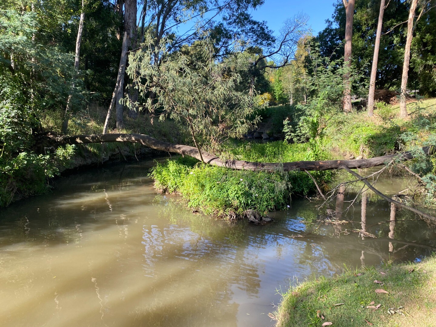
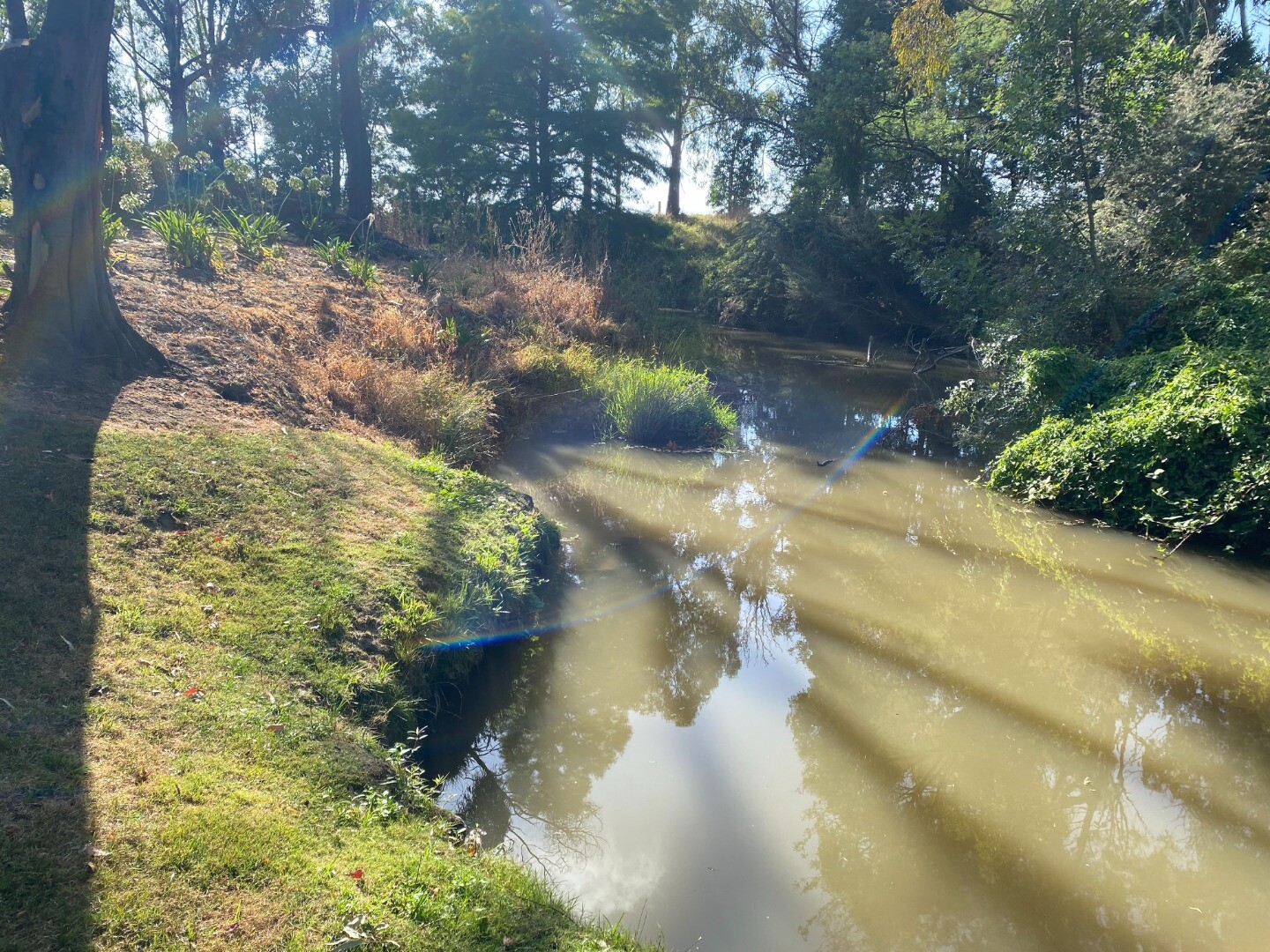
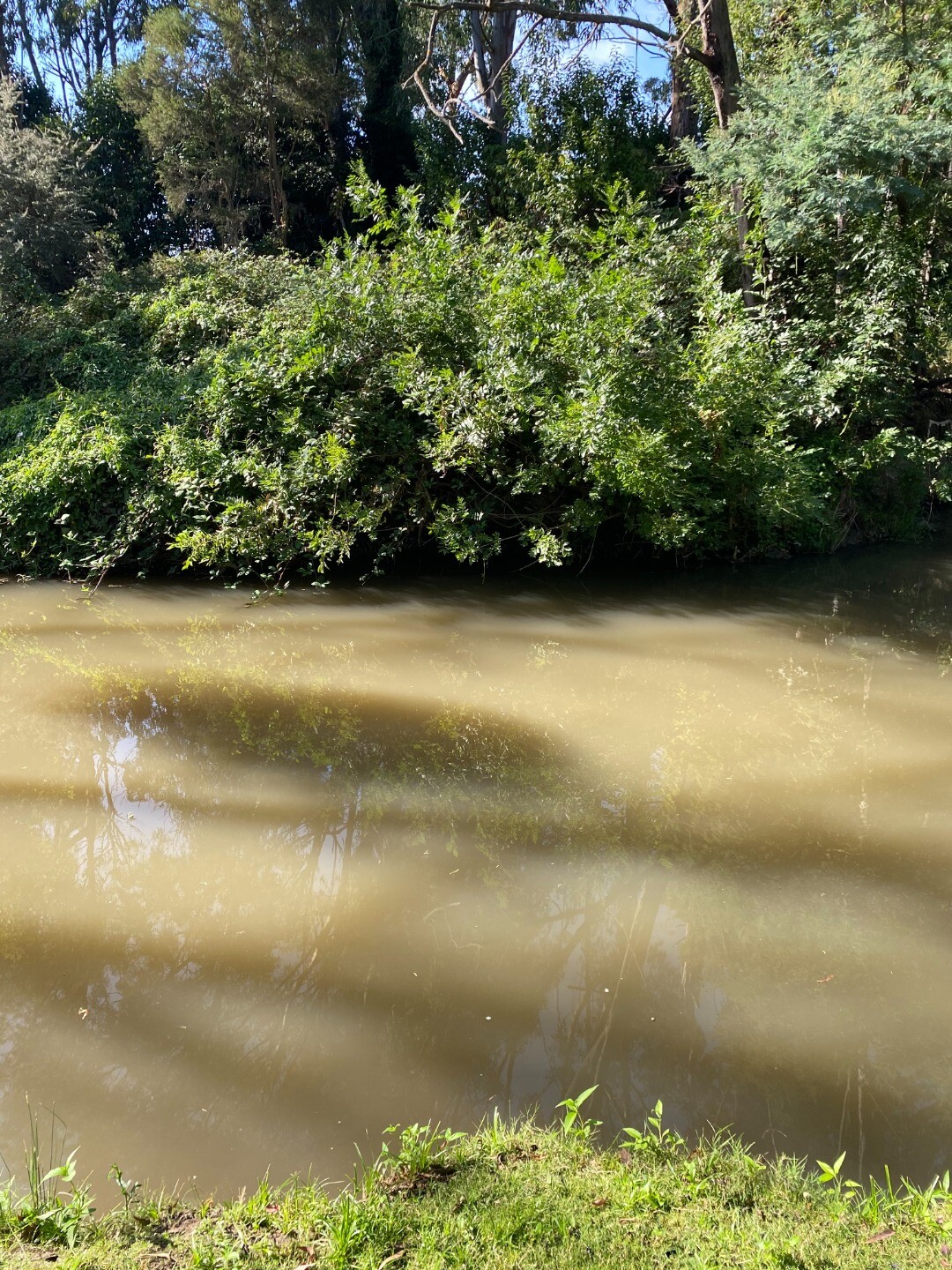
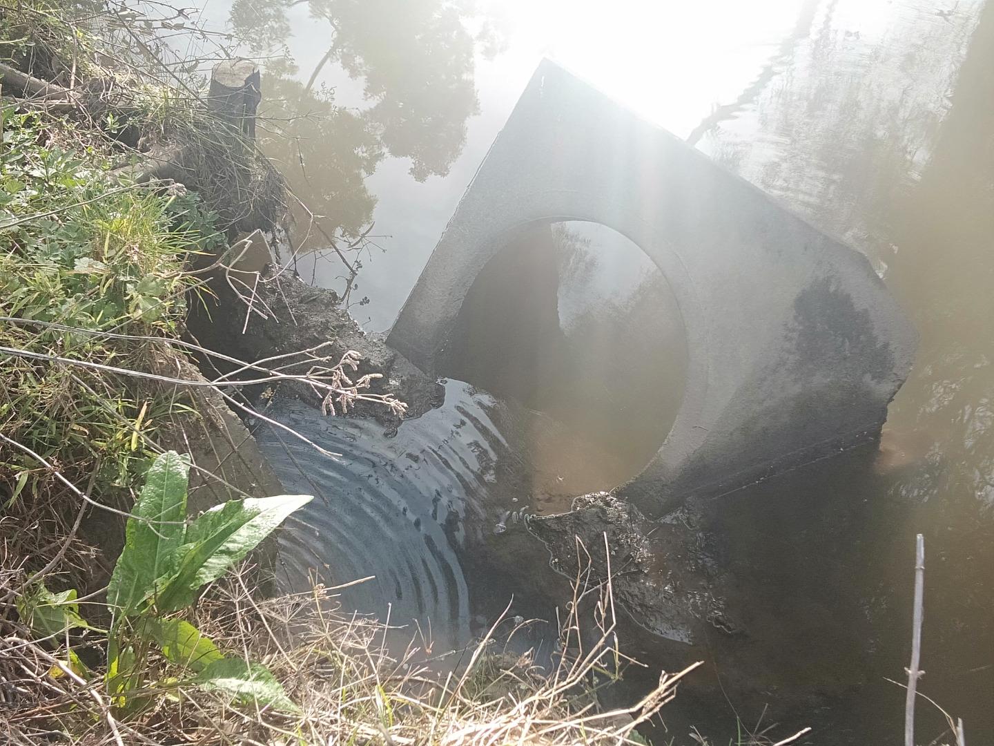
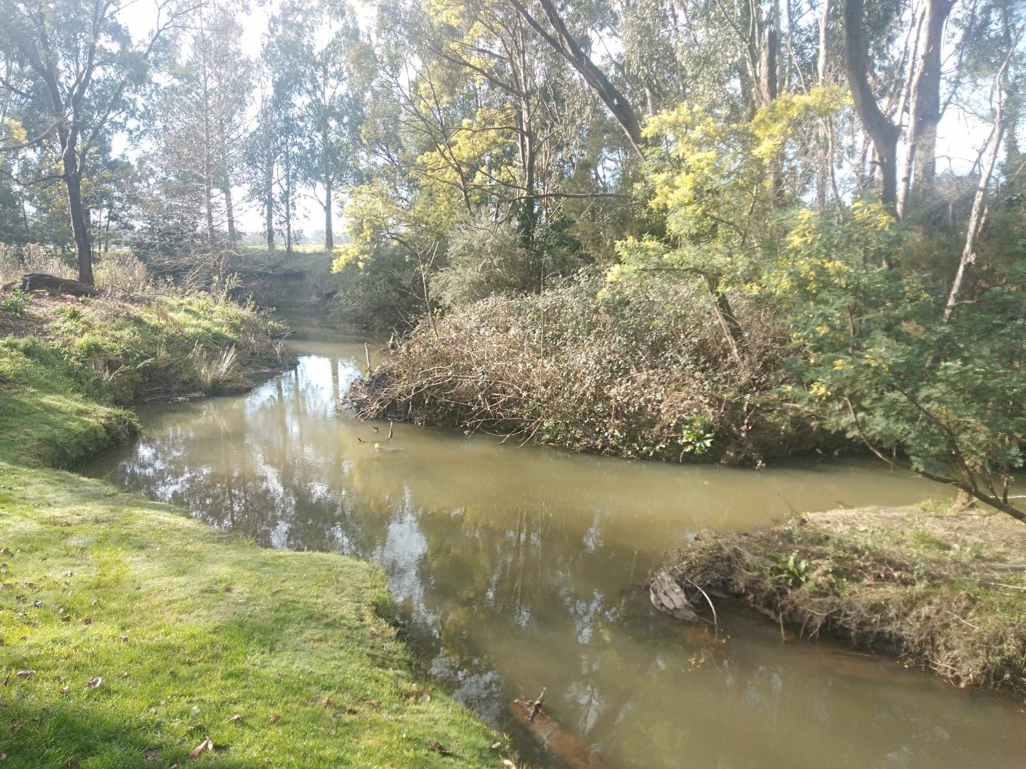
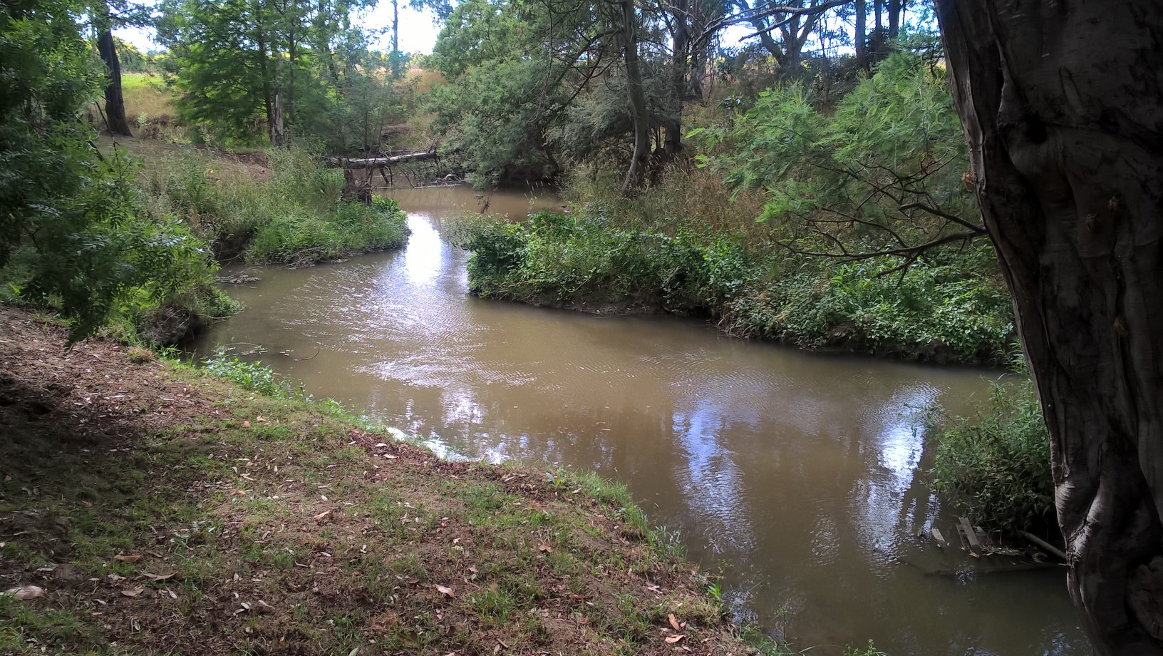
| Site name | Traralgon Creek at Atherley Close |
| Status | Active |
| Water Authority | West Gippsland |
| Basin | Latrobe River |
| Catchment | Latrobe River |
| Sub catchment | Traralgon Creek |
| Reach | 26_11 Traralgon Creek |
| Water type | Other |
| Council | |
| History | View all 212 site visits 11-01-2007 - 04-11-2024 |
| Monitoring organisations |
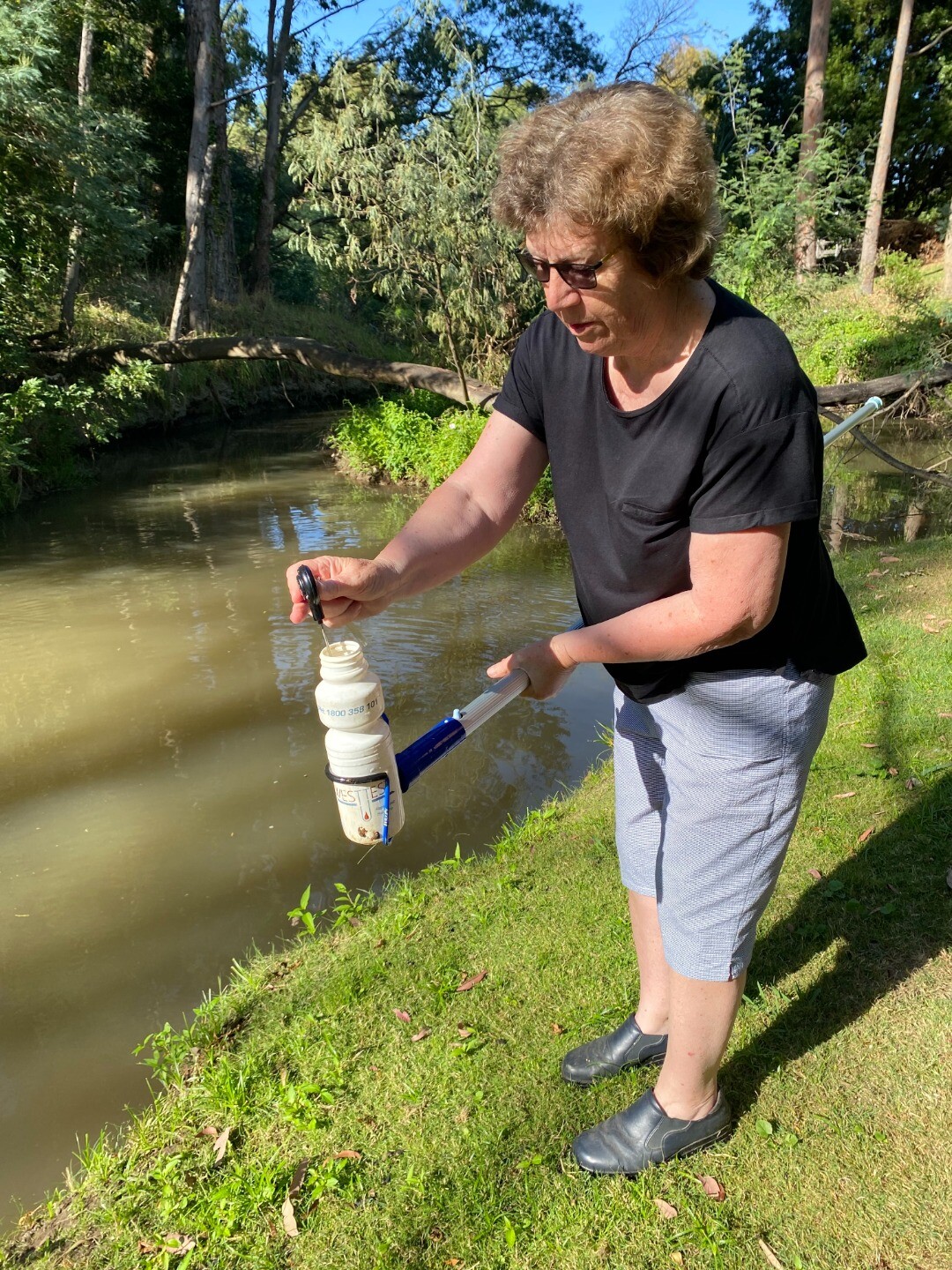
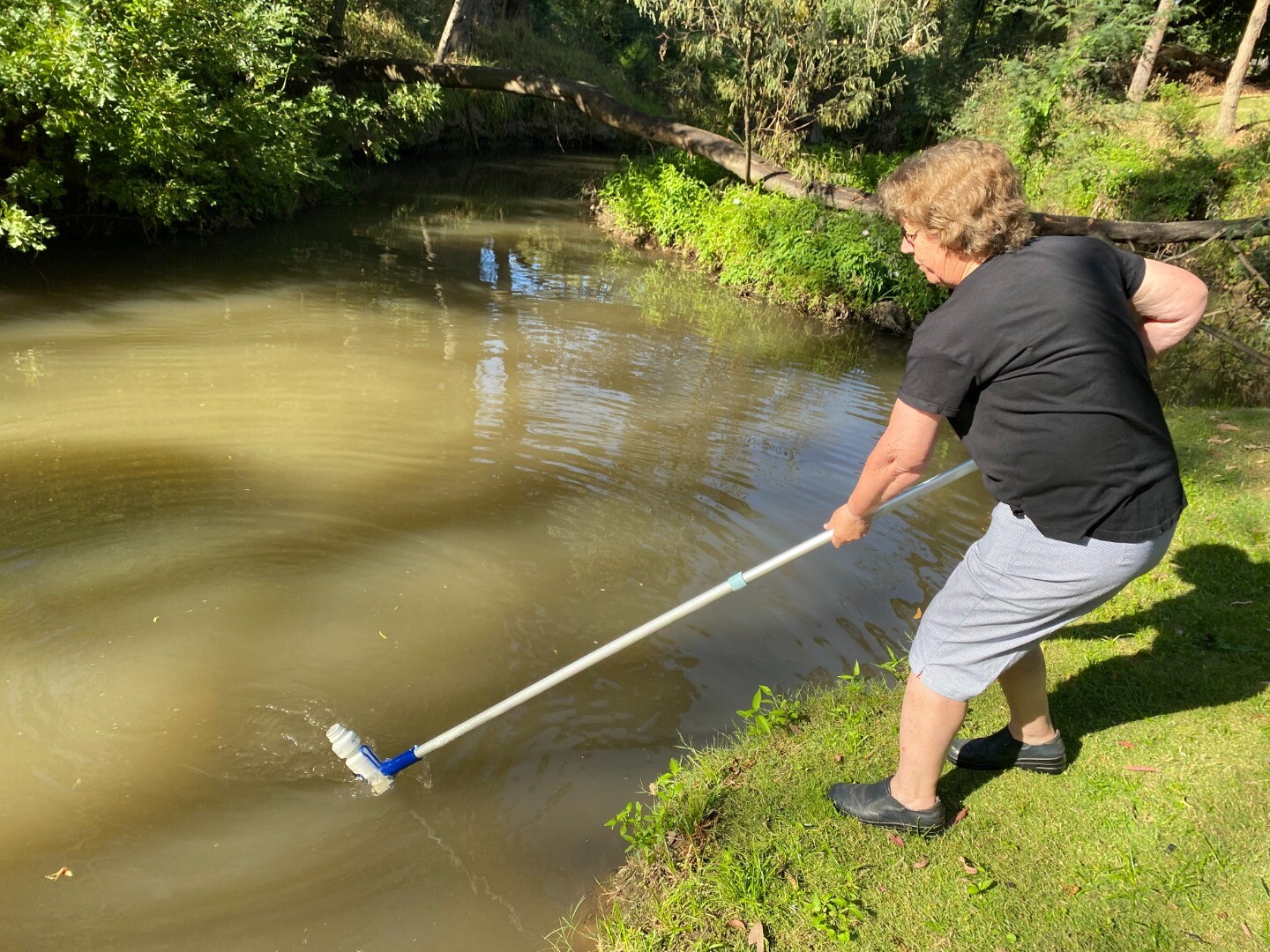
Site visits
 Loading chart
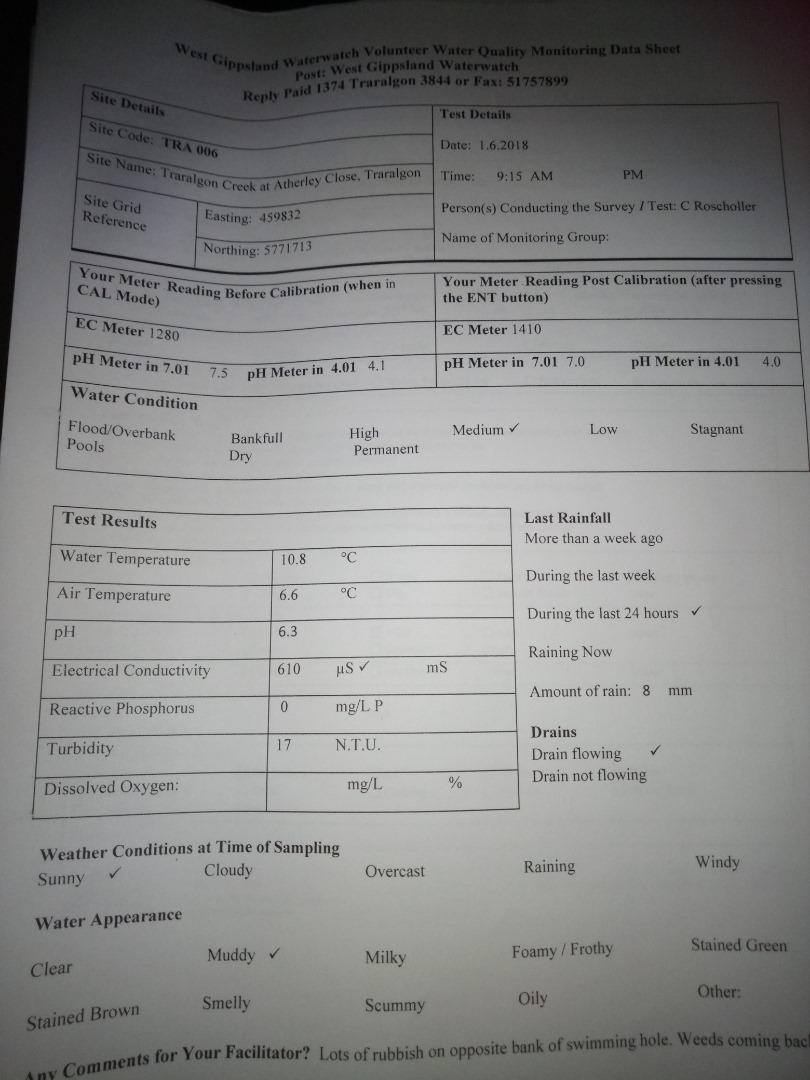
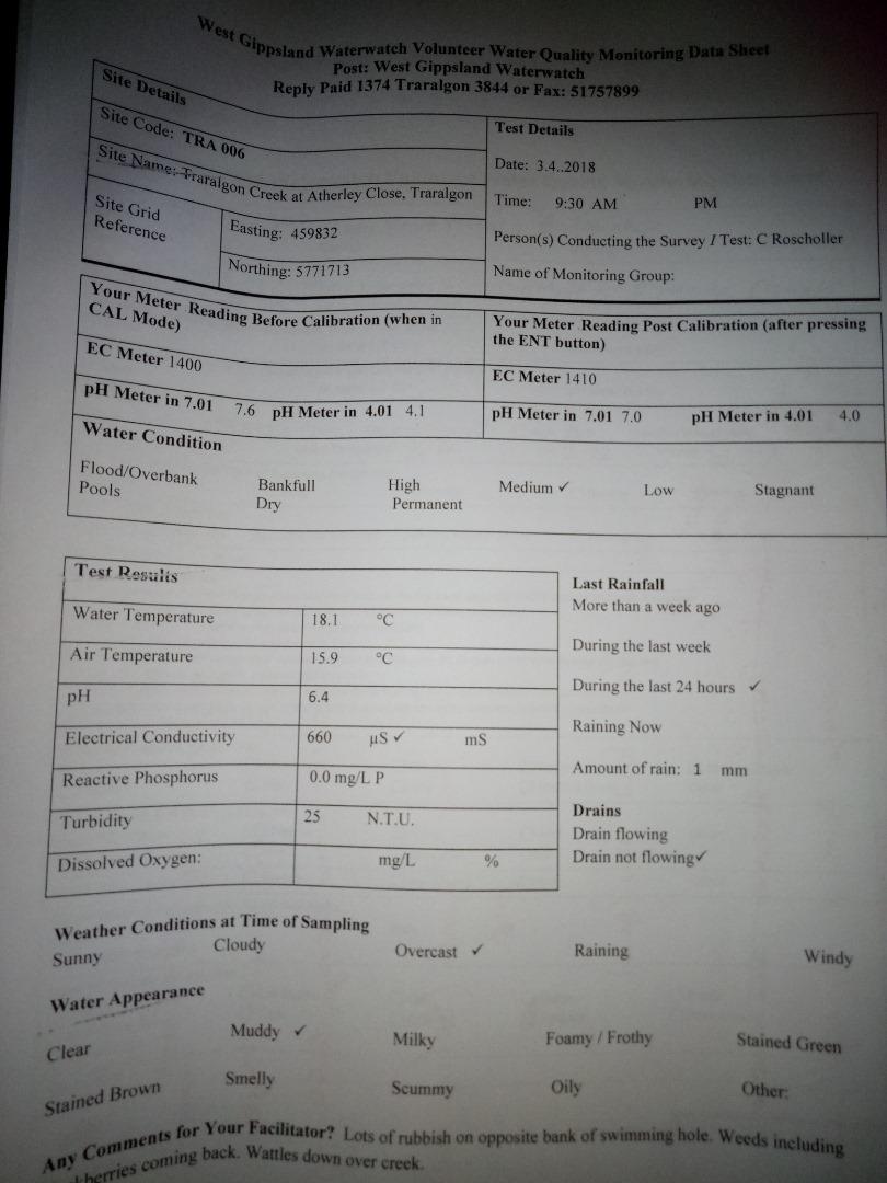
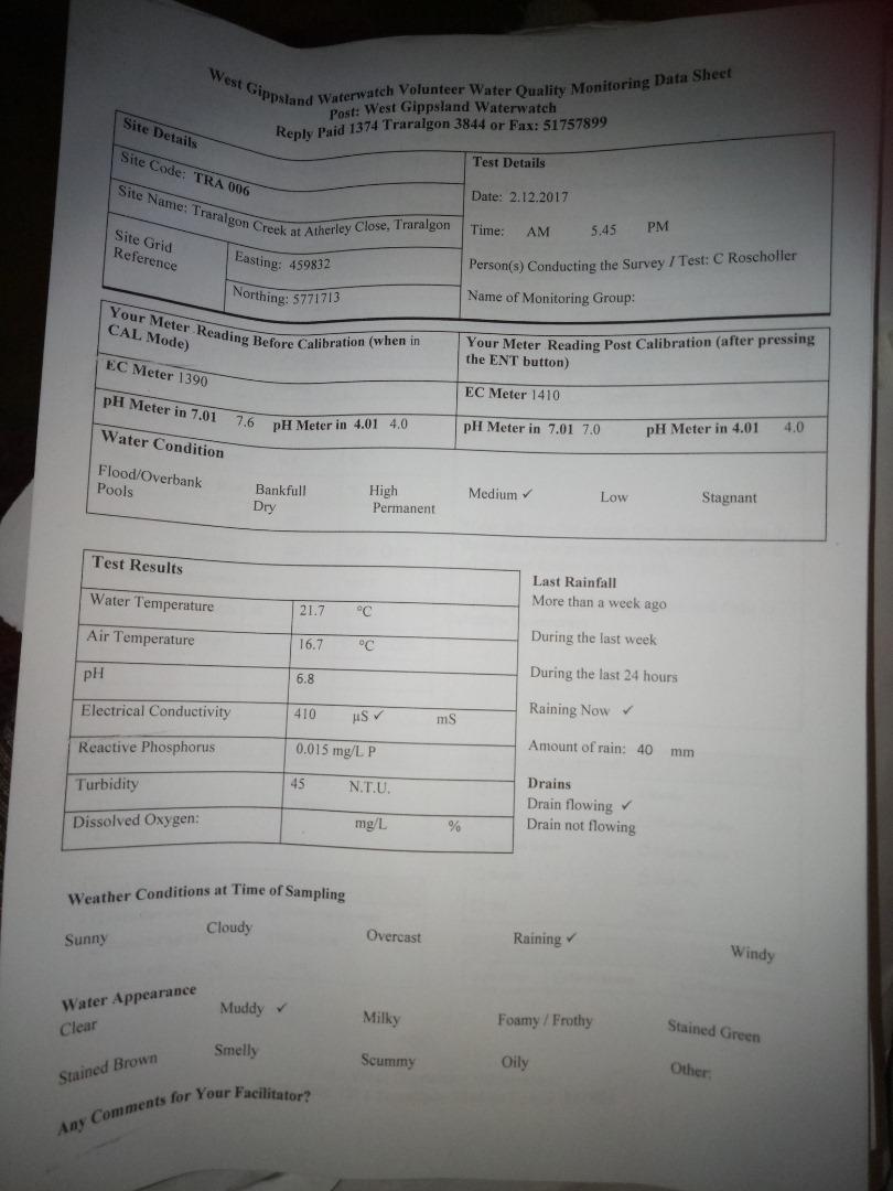
| Date | EC µS/cm | Nitrate-Nit mg/L N | pH pH Units | rP mg/L P | Air ° C | Water ° C | Turb NTU |
|---|---|---|---|---|---|---|---|
| 05-12-2022 | 360 | 6.4 | 0.045 | 19.4 | 21 | 65 | |
| 06-01-2023 | 460 | 6.4 | 0.03 | 19 | 20.4 | 60 | |
| 02-02-2023 | 460 | 6.4 | 0.03 | 21 | 19.8 | 30 | |
| 10-03-2023 | 510 | 6.6 | 0.03 | 19.5 | 18.2 | 30 | |
| 08-04-2023 | 600 | 6.1 | 0.045 | 18.7 | 18.6 | 33 | |
| 05-05-2023 | 500 | 6.2 | 0.015 | 20 | 14 | 21 | |
| 01-06-2023 | 380 | 6.3 | 0.015 | 18.2 | 14.2 | 21 | |
| 02-07-2023 | 200 | 5.7 | 0.03 | 14.5 | 12.5 | 70 | |
| 03-08-2023 | 460 | 6.7 | 0.015 | 13 | 11.4 | 13 | |
| 02-09-2023 | 420 | 6.3 | 0.015 | 13.5 | 12.6 | 25 | |
| 01-10-2023 | 420 | 6.3 | 0.015 | 23 | 17.2 | 37 | |
| 01-11-2023 | 350 | 6.1 | 0.045 | 18 | 16.9 | 40 | |
| 18-12-2023 | 390 | 6.2 | 0.045 | 22.5 | 22.1 | 45 | |
| 04-01-2024 | 350 | 6.1 | 0.045 | 25 | 23.5 | 70 | |
| 08-02-2024 | 570 | 6.1 | 0.015 | 28 | 22.8 | 40 | |
| 08-03-2024 | 630 | 6 | 0.03 | 22 | 21.3 | 40 | |
| 08-03-2024 | 630 | 6 | 0.03 | 22 | 21.3 | 40 | |
| 17-04-2024 | 440 | 6.8 | 0.015 | 15.5 | 16.7 | 21 | |
| 02-05-2024 | 490 | 7 | 0.03 | 16 | 15 | 15 | |
| 02-06-2024 | 520 | 6.4 | 0.015 | 10.2 | 12.1 | 19 | |
| 03-07-2024 | 490 | 6.6 | 0.03 | 8.5 | 6.7 | 9 | |
| 05-08-2024 | 420 | 7.3 | 0.015 | 16 | 8.4 | 9 | |
| 03-09-2024 | 480 | 7.01 | 0.015 | 9 | 11 | 13 | |
| 03-10-2024 | 460 | 6.6 | 0.015 | 21 | 14.5 | 30 | |
| 04-11-2024 | 480 | 6.3 | 0.03 | 19.5 | 16.7 | 30 |
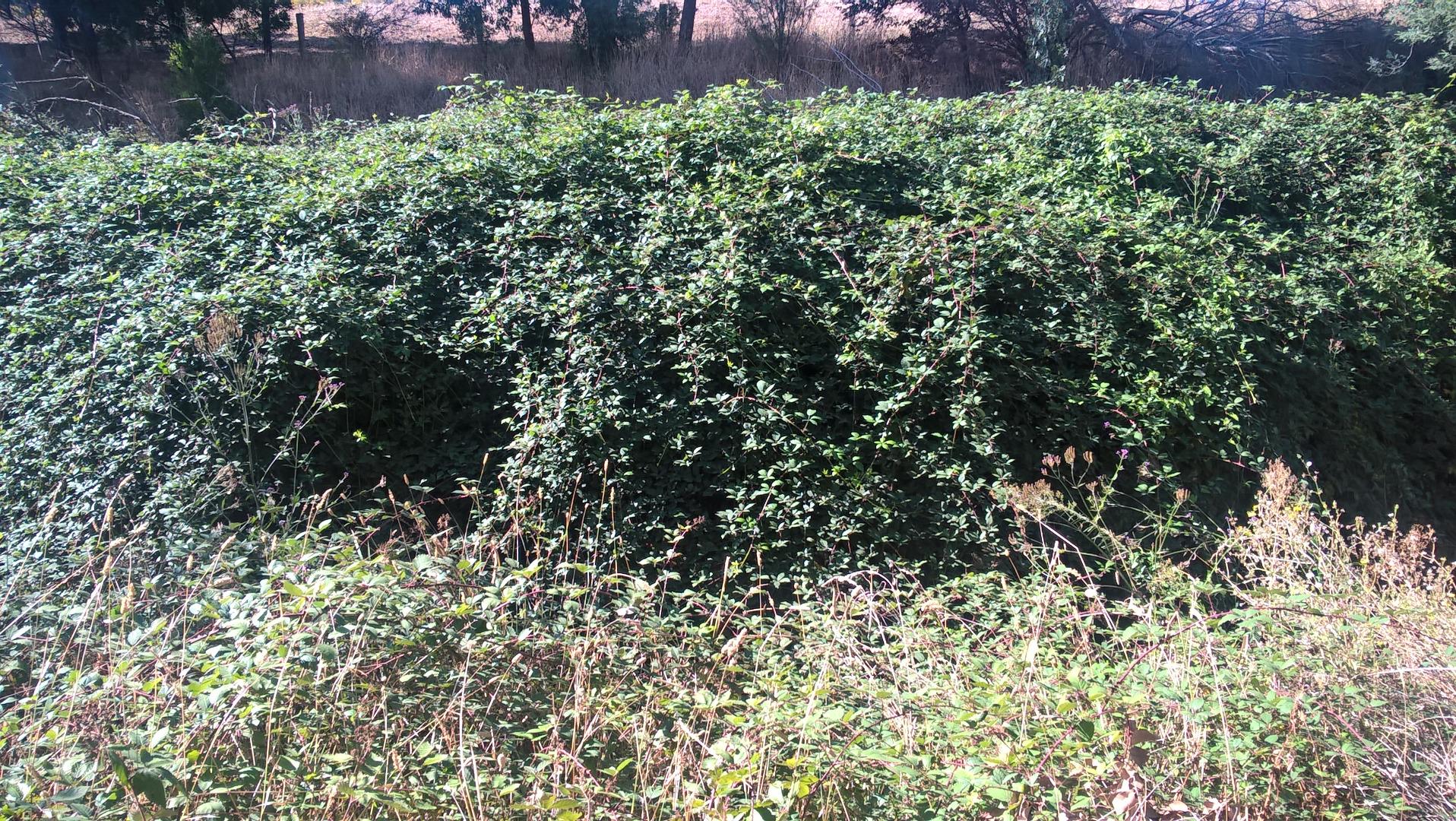
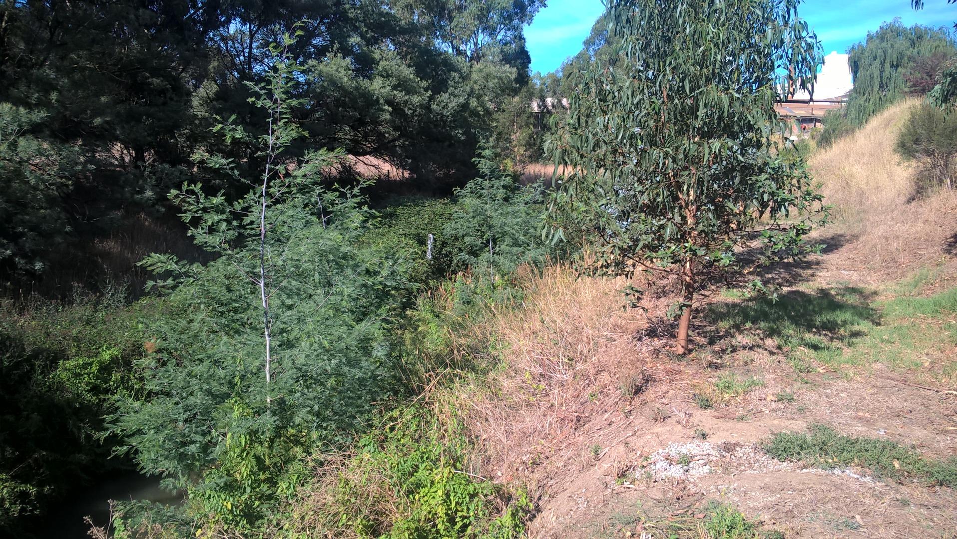
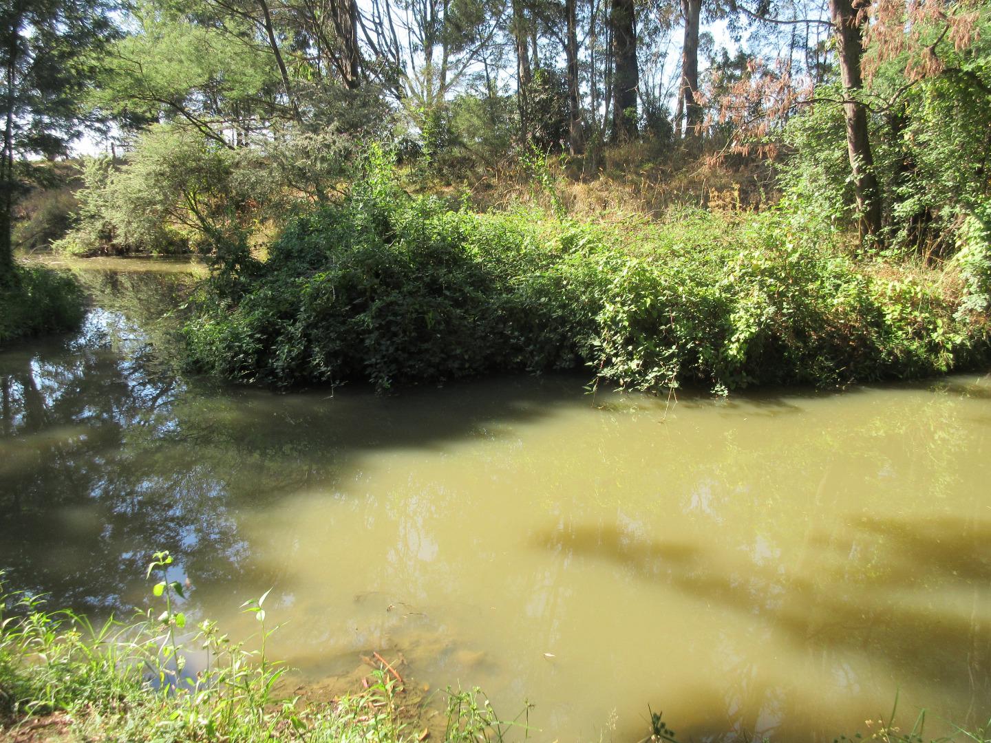
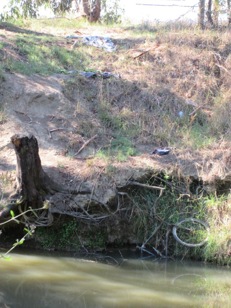
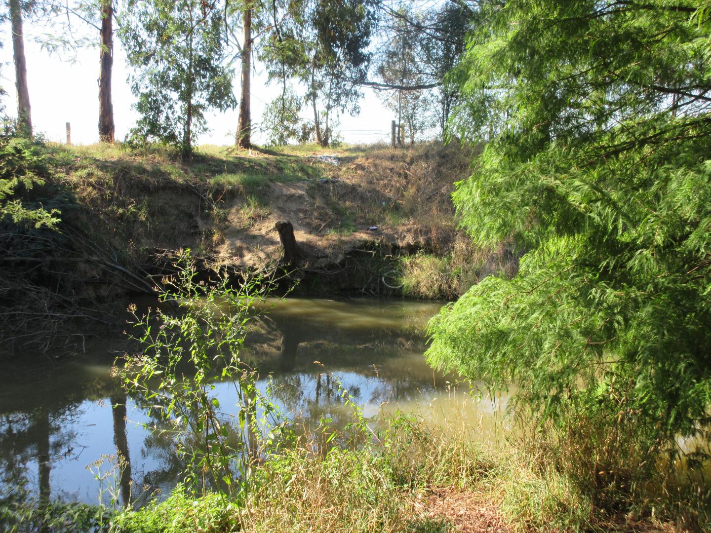
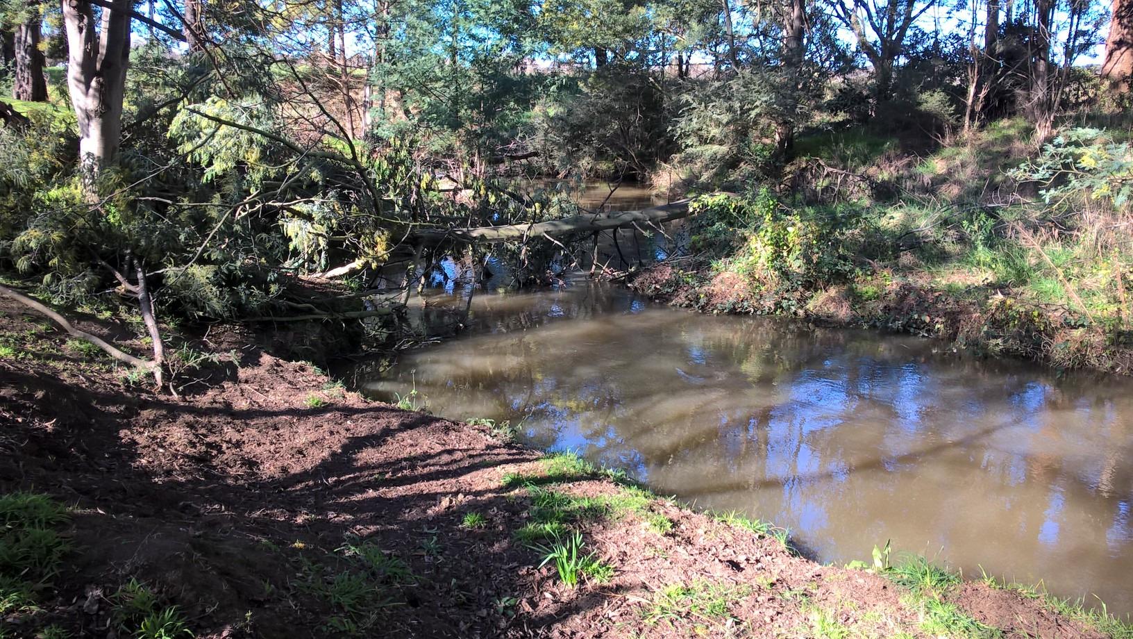
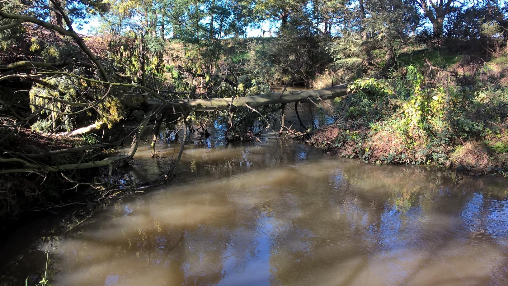
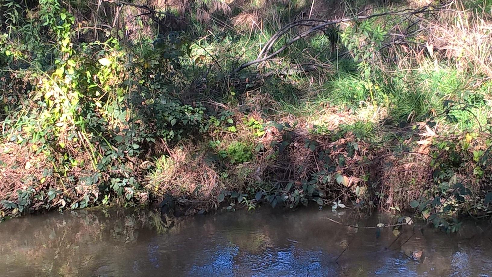
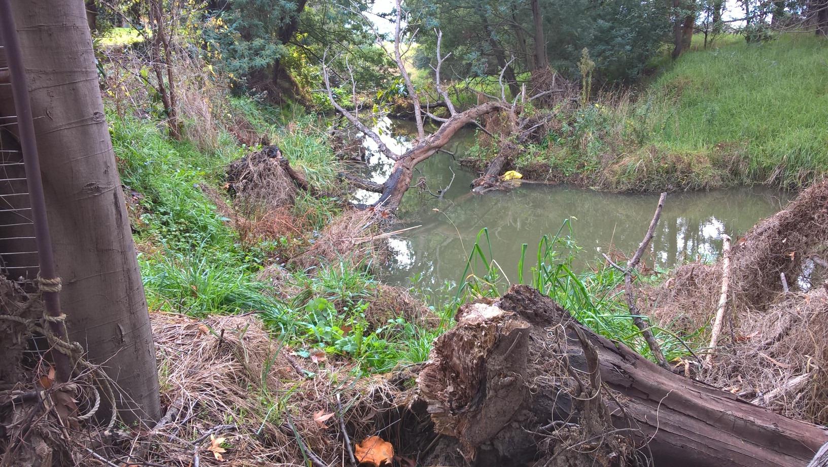
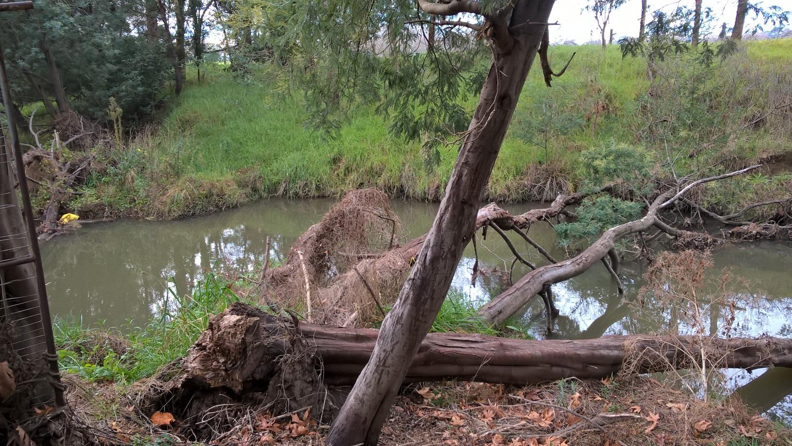
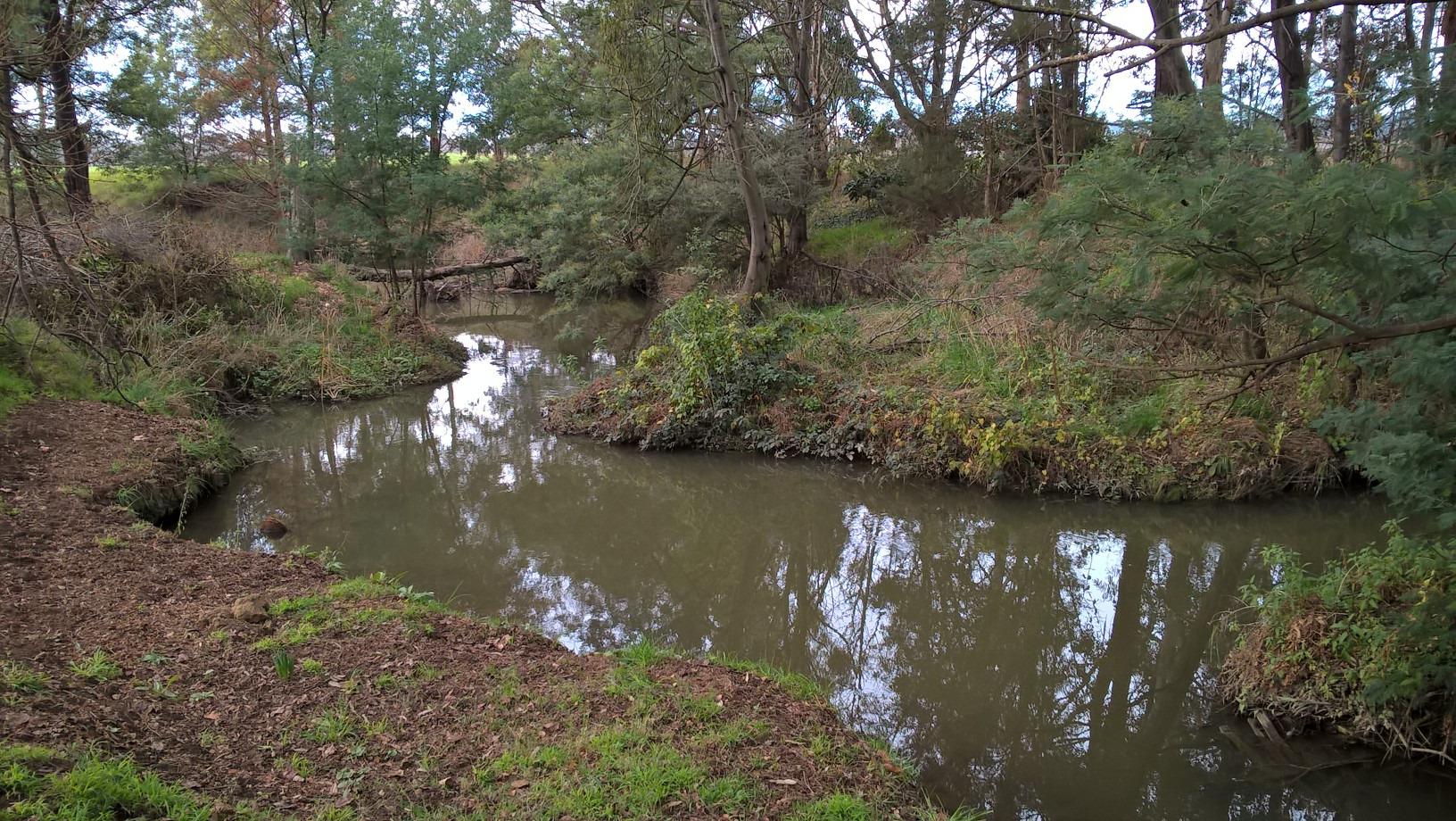
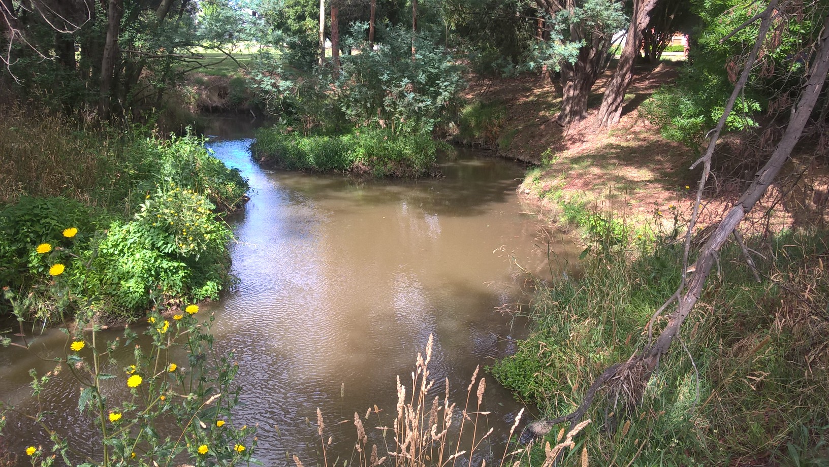
Habitat
| Date | Comment | Bank Erosion Stability | Bank Vegetation | In Stream Cover | Riffles Pools Bends | Verge Vegetation | Overall |
|---|---|---|---|---|---|---|---|
| 08-03-2024 | Fair 3 | Poor 4 | Poor 4 | Fair 3 | Fair 6 | 20 |


All content, files, data and images provided by the Waterwatch Data Portal and Gallery are subject to a Creative Commons Attribution License
Content is made available to be used in any way, and should always attribute Waterwatch and www.vic.waterwatch.org.au
.png)