Waterwatch Data Portal
ME_YSC099 Mt Waverley Wetlands at the rocky embankment at the most westerly end, nearest Blackburn Rd
27 September 2009
Site visit details
Overview
| Catchment | Yarra River |
|---|---|
| Site | Mt Waverley Wetlands at the rocky embankment at the most westerly end, nearest Blackburn Rd ME_YSC099 |
| Date and Time | Sunday 27th September 2009 14:00pm |
| Approved | Approved |
Physical Chemical Tests
| Ammon-Nit mg/L NH3-N | N mg/L NH4+ | D.O. % | D.O mg/L | EC µS/cm | FrP mg/L P | Nitrate-Nit mg/L N | pH pH Units | rP mg/L P | Air ° C | Water ° C | Turb FTU | Turb NTU | |
|---|---|---|---|---|---|---|---|---|---|---|---|---|---|
| Sample | 7.8 | 420 | 0.08 | 7.4 | 9 | 10 |
| Weather | n/s |
|---|---|
| Last rainfall | Last 7 days |
| Flow estimate | n/s |
| Water Appearance | |
| Stream depth | |
| Stream width | |
| Hazards | |
| Litter/Pollutants |
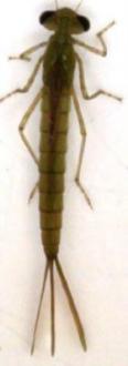
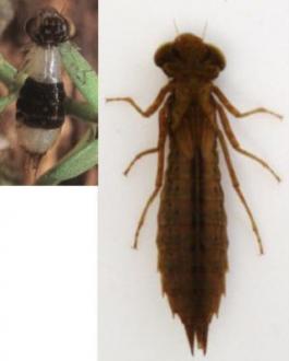
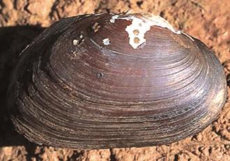
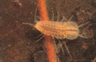
There has been a large quantity of rain over the past week (in excess of 50mm). As a result, water levels in the ponds were very high, particularly in site 5 so it was not possible to properly sample aquatic invertebrates from the normal habitat zone in the ponds. This is reflected in the low variety and count in site 5, and the reduced variety in site 4. The heavy recent rains have also caused the higher than usual conductivity and turbidity readings at most sites.
Creatures Waterwatch method
| Total bug score | ||
|---|---|---|
| Total abundance | 0 - 35 | 35+ |
| 0 - 200 | Poor | Good |
| 200+ | Fair | Very good |

All content, files, data and images provided by the Waterwatch Data Portal and Gallery are subject to a Creative Commons Attribution License
Content is made available to be used in any way, and should always attribute Waterwatch and www.vic.waterwatch.org.au

